It was another early morning, so we ordered to-go breakfasts from the restaurant in the hotel. We were picked up at 7 a.m. for our long day exploration of Banff and Jasper National Parks.
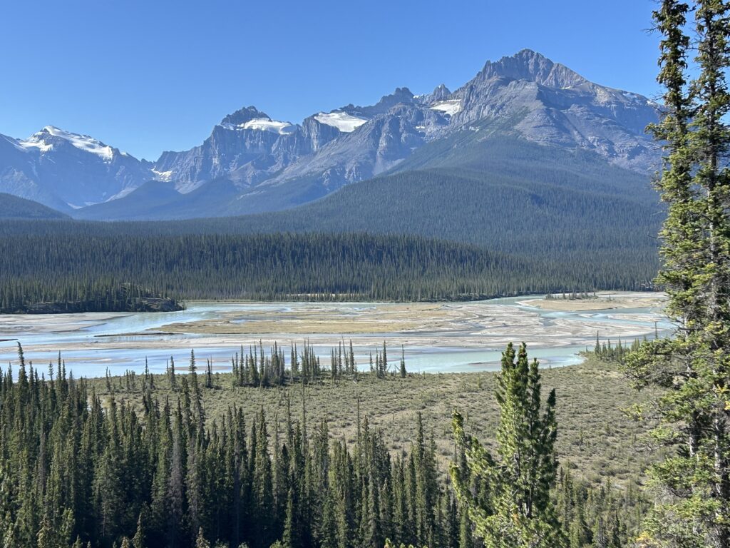
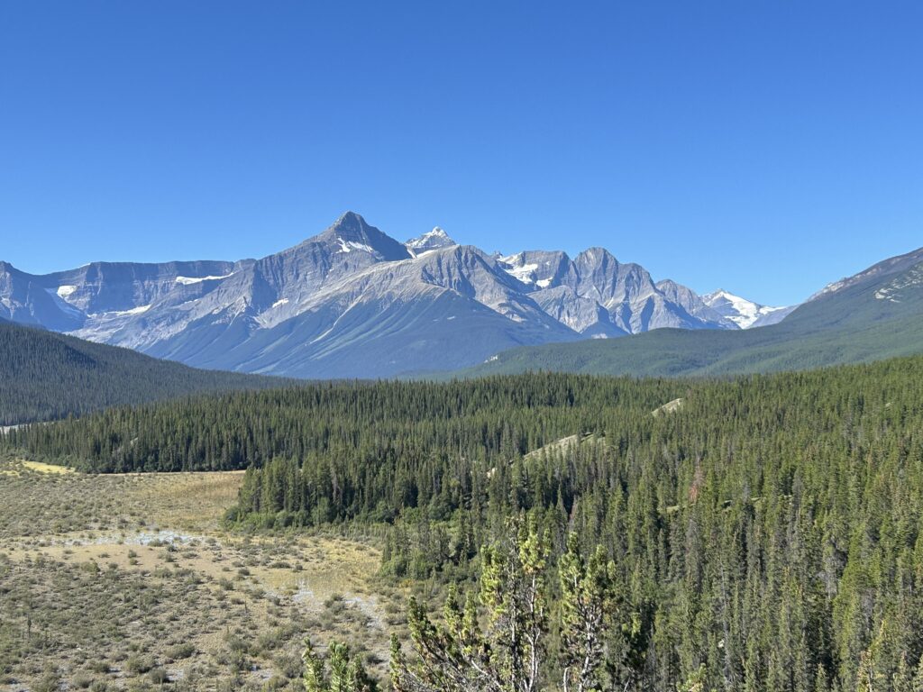
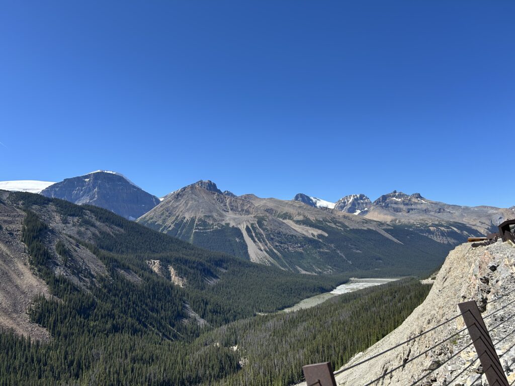
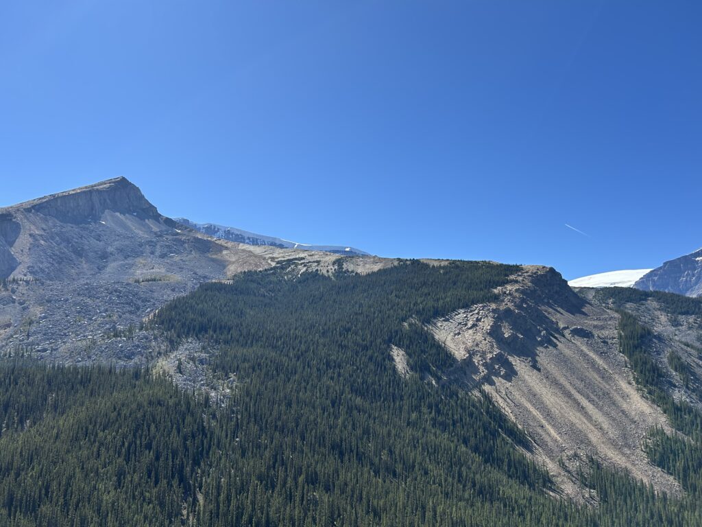
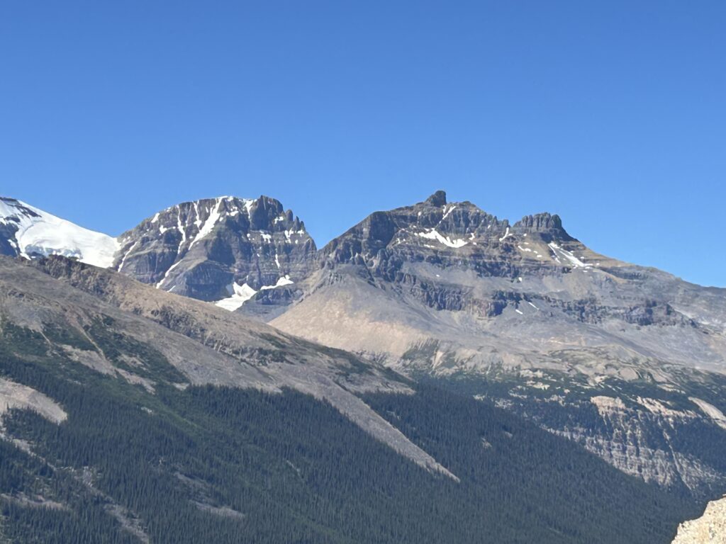
The Ice Fields Parkway is a 144-mile span on the highway from Banff to Jasper in Alberta. It parallels the Continental Divide. On it we passed more than 100 glaciers and other alpine landscapes. While the Athabasca Glacier and Ice Field Skywalk were the goal of the day, we made many scenic stops along the way to appreciate the beautiful mountains and glacial lakes.
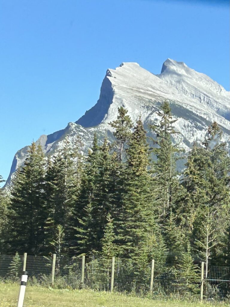
Leaving Banff, we passed Exshaw Mountain. The first lake we came to was Emerald Lake, the largest lake in Yoho National Park. It is surrounded by President Mountain Range. Traveling on, we passed Castle Mountain, so named because of its bulky turrets.
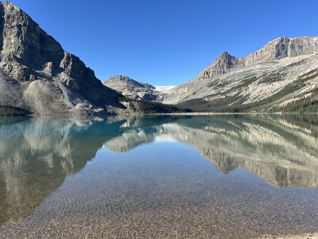
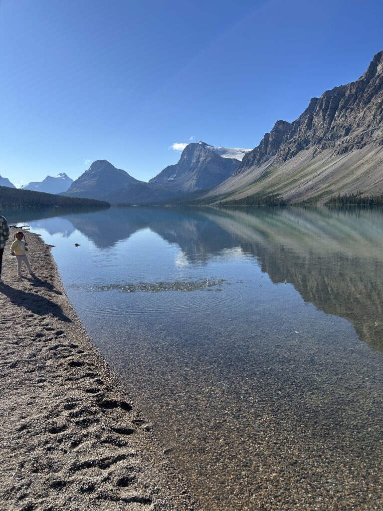
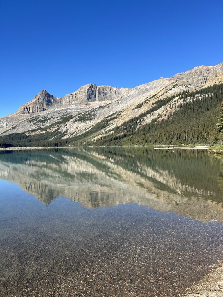
The next stop was Bow Lake, one of the largest glacier-fed lakes in the park. With its turquoise blue water, its elevation is 6,300 feet. It is small, only 1.24 square miles and 164 feet deep. It is set against the backdrop of Crowfoot and Bow Glaciers. Crowfoot Glacier once resembled a crow’s foot with three large toe-like extensions. The glacier has receded and lost one of its lobes.
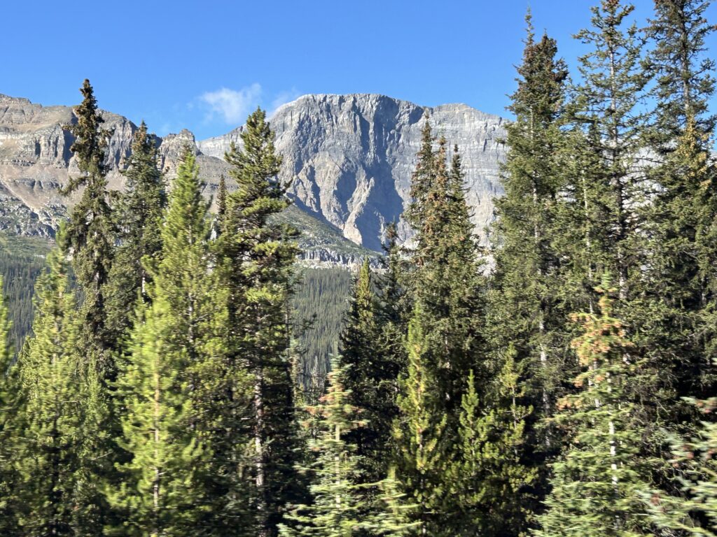
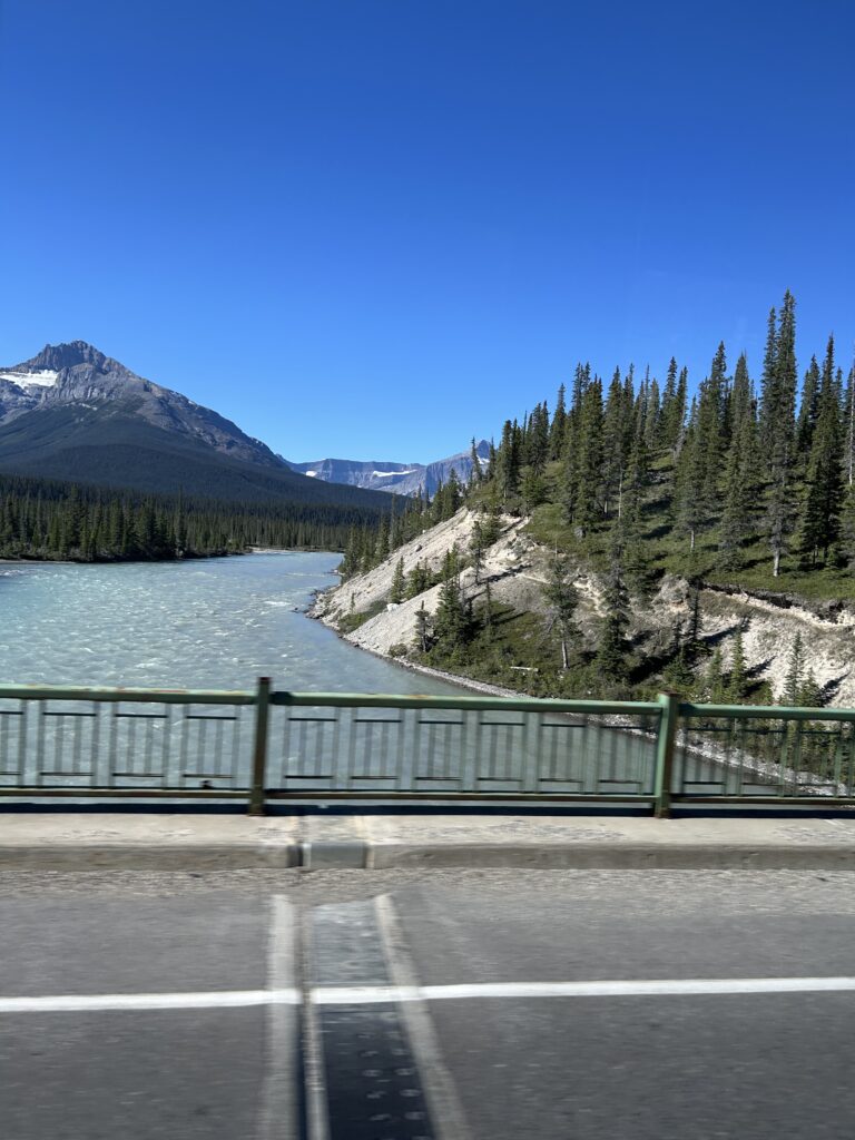
We crossed the North Saskatchewan River at the Saskatchewan Crossing, at about 4,000 feet. Here the Howse and Mistaya Rivers meet the North Saskatchewan. Mount Wilson is one of three mountains that tower over the crossing. We are now in Jasper National Park.
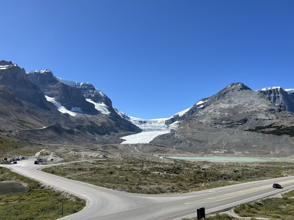
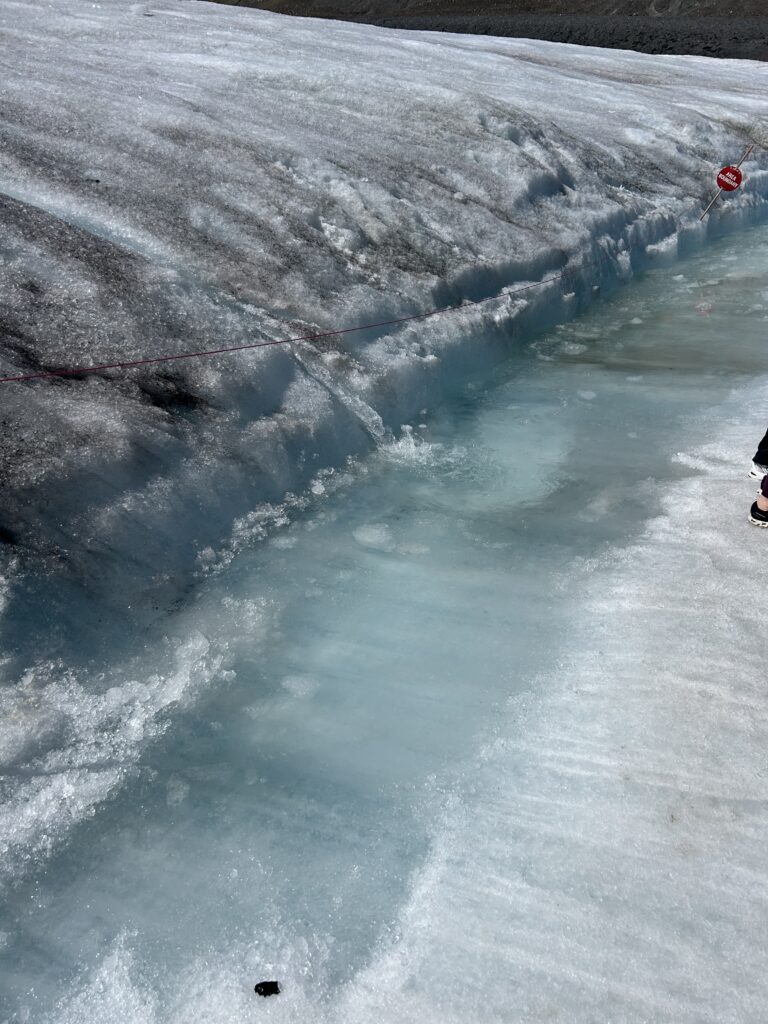
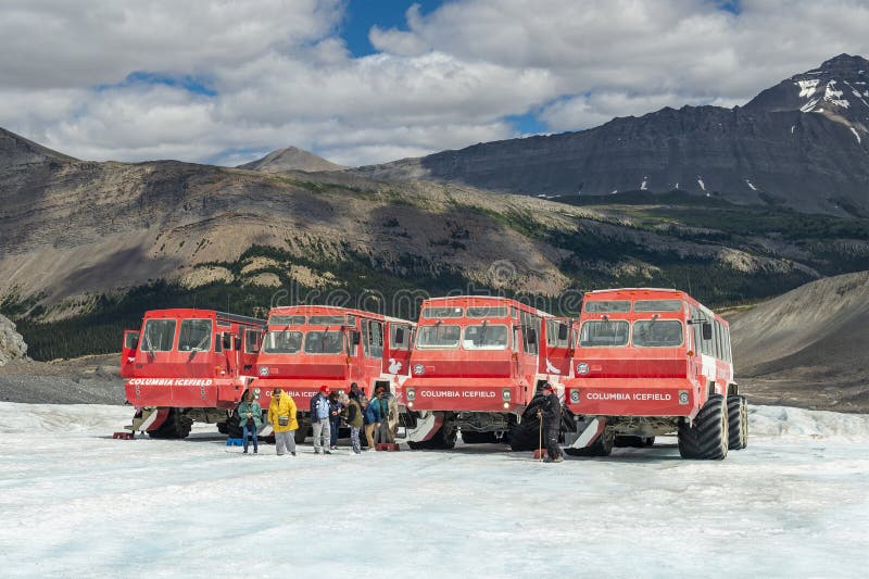
Soon we arrived at the Columbia Icefields Glacier Discovery Center. Here we had a picnic lunch overlooking the large Athabasca Glacier. After lunch, we boarded a bus to take us to the special Glacier Explorer Vehicle necessary to go to the glacier. Currently there are only 24 of these Glacier Explorer Vehicles in the world, and 22 of them are here. The other two are in Antarctica. The wheels are about five feet tall and are made to traverse steep, icy terrains.
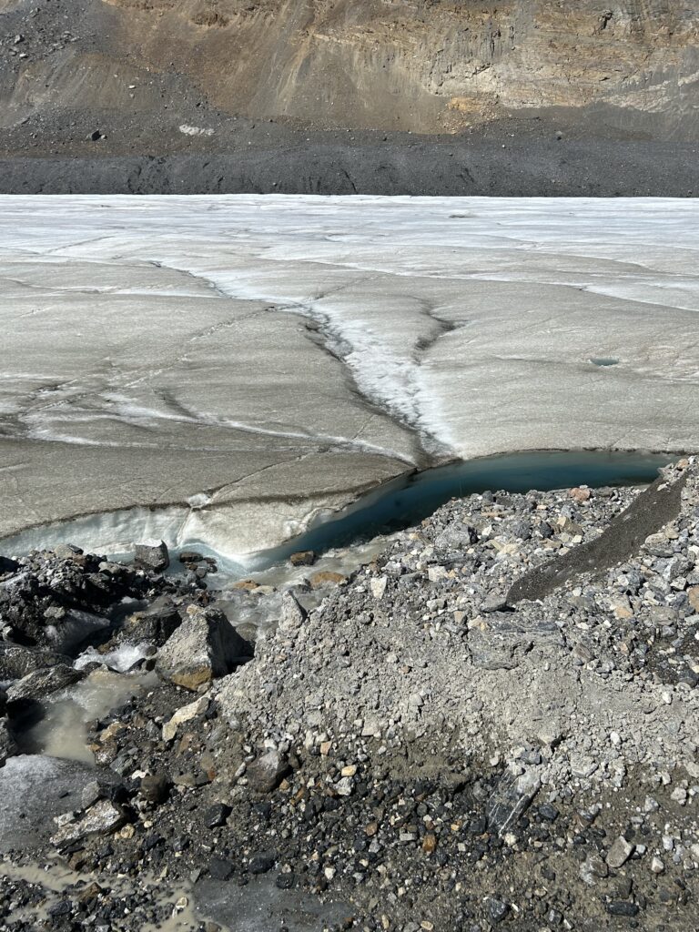
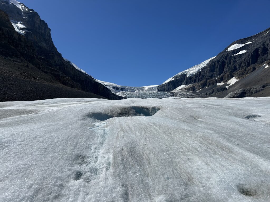
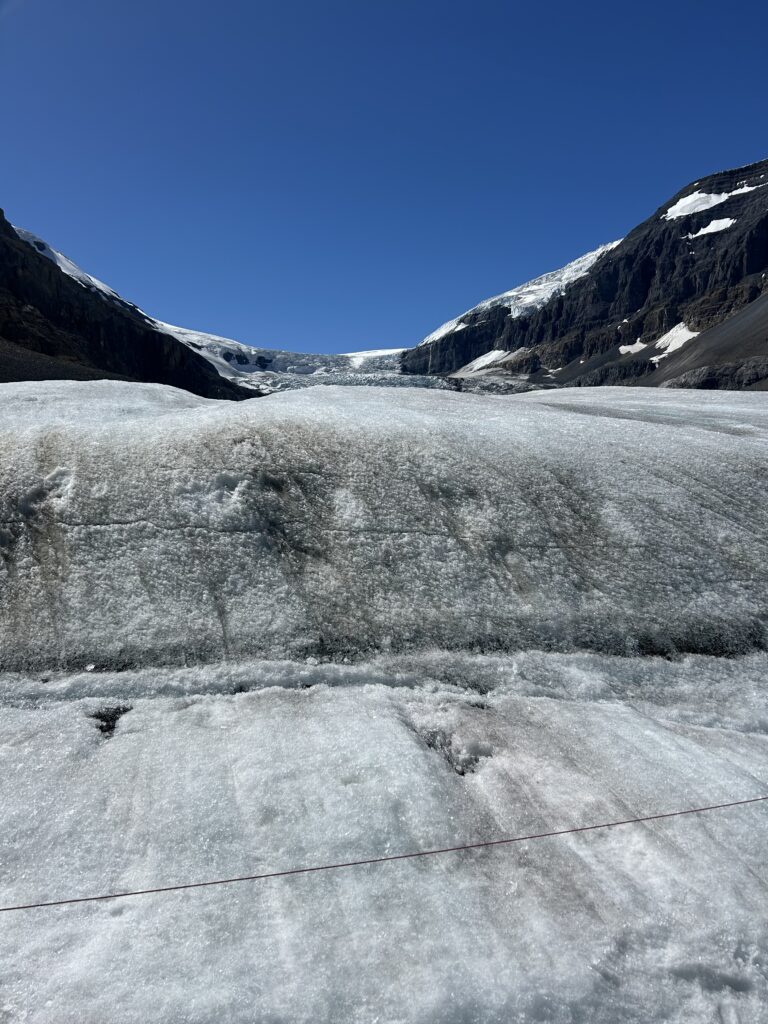
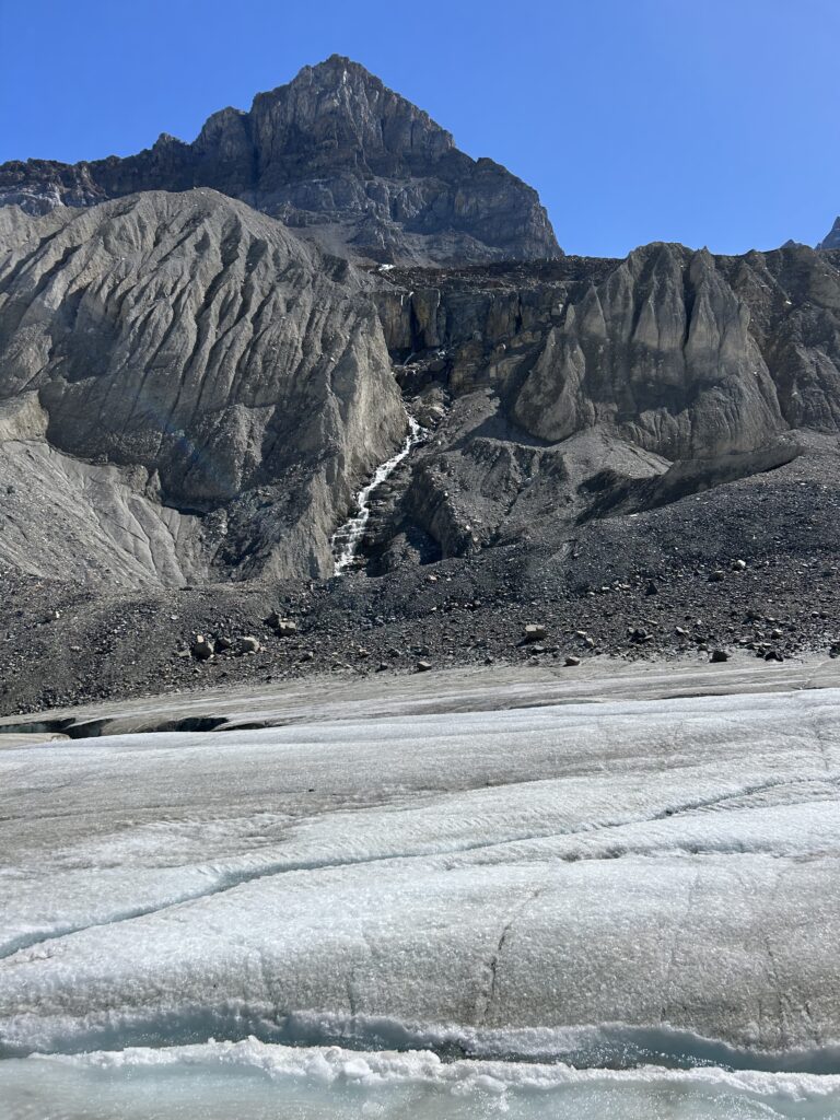
The Columbia Icefield is one of the largest icefields in North America, and the largest in the Canadian Rockies, covering an area of 89 square miles with depths up to 1,200 feet. The icefield forms a high-altitude ice cap that lies on a plateau. It is made up of six glaciers, including the Athabasca Glacier, which is one of the most accessible glaciers in the world. The Athabasca Glacier is a large toe extending from the Columbia Icefield. This glacier has been melting for 125 years, leaving a moonscape of rocky moraines in its path.
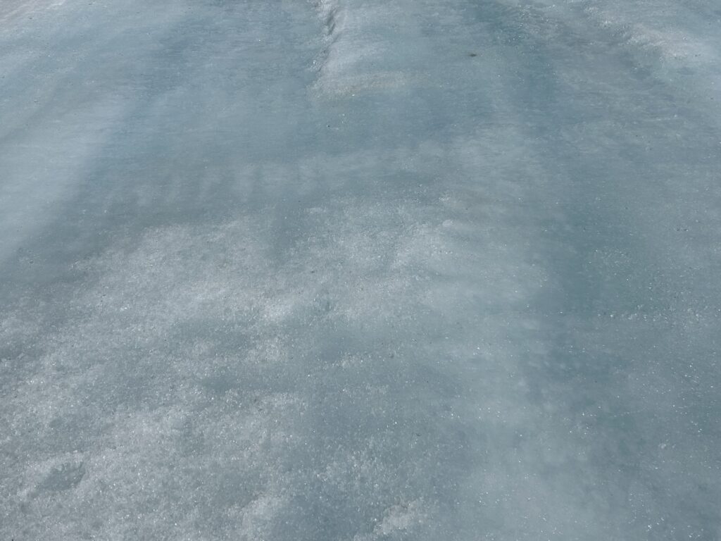
It was thrilling to set foot on the glacier and walk around. We could even sip the glacial water as it was melting. We learned that icefields are stable and composed of several glaciers while glaciers are moving.
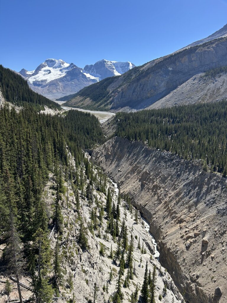
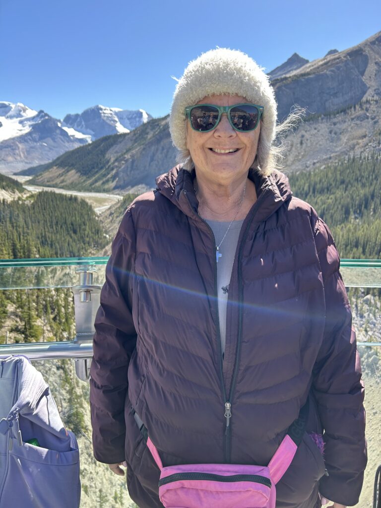
After we returned from our trip to the glacier, we boarded a shuttle to take us to the Columbia Icefield’s Glacier Skywalk. Here we followed a guided pathway with interpretive displays on the area’s geology, biology, ecology, and Aboriginal history along the edge of a sheer cliff to the lookout with a glass-bottomed floor and transparent wall that provided unobstructed views of the Sunwapta Valley.
The 1,312-foot Skywalk sits 1,000 feet above the floor of the Sunwapta Valley. You can see magnificent views of the surrounding mountains and glaciers in a distance as well as the valley below. The glass-bottomed platform at the end of the walkway, called Discovery Vista, allows you to look down at the valley below as well as well as the surrounding glacial valleys and snow-capped peaks. What an inspiring trip.
After about three hours, we headed back to the bus and made only one stop on our way back to Banff. That was at Peyto Lake, which has the unique shape of a wolf. The lake lies in the valley of the Waputik Range between Caldron Peak, Peyto Peak, and Mount Jimmy Simpson at an elevation of 6,100 feet. It is another brilliant blue, glacial lake.
From here we headed back to Banff for the evening. We arrived close to 7 pm and were tired, so we opted to eat at the Keg, the restaurant in our hotel. As we entered, we walked by Patti Murray, our Washington State Senator, and her husband seated in a booth. It was hard to keep from saying something, but they were clearly “away,” and we didn’t want to spoil that. What a coincidence.
This was our last night of the trip. Tomorrow, we had a transfer to the airport in Calgary and a short flight home. What a wonderful trip.