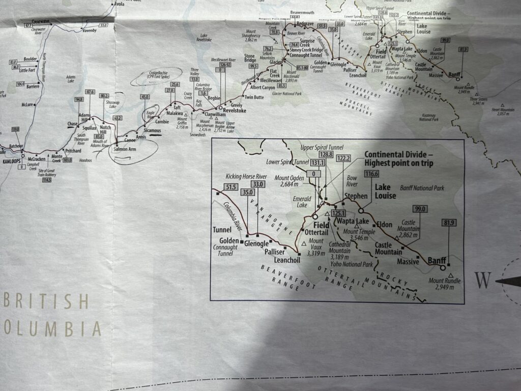
Kamloops to Lake Louise
It was another early morning, but when we got to the train about 6:30 coffee and a scone were waiting for us while our big breakfast was prepared and served. The menu choices were different from yesterday, and again it was hard to choose; the food was delicious and bountiful. A bagpiper played as we left and was joined by other personnel to wave goodbye to us.
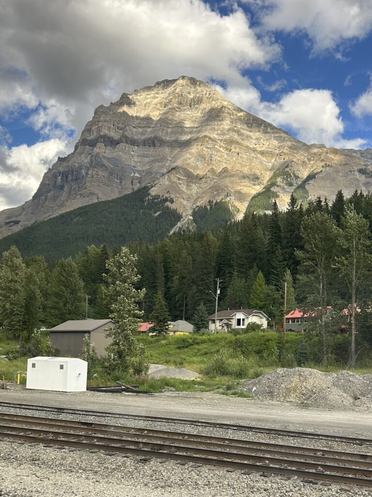
Kamloops has been a trading center for First Nations people for thousands of years. The word comes from the Shuswap word Tk’emlups which means “where the rivers meet” and has been the home of the Tk’emlupsemc, the “people of the confluence,” for centuries.
In 1812 the Pacific Fur Company built the first fur trading post at the junction of the North and South Thompson Rivers. Soon, the Northwest Trading Company built a competing trading post across the river. Then the Hudson’s Bay Company arrived and built another fort.
Now it has become a sporting center and is Canada’s “Tournament Capital.” It also has a vibrant arts community.
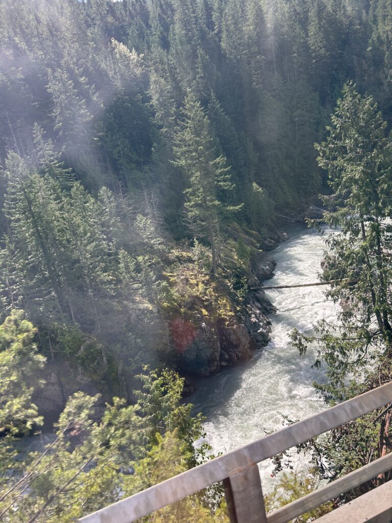
Today we will travel along seven rivers. The first is the Thompson River. As we go, we leave the semi-arid desert and move back into forest. The Thompson Valley is one of Canada’s wine regions and we pass vineyards along the way.
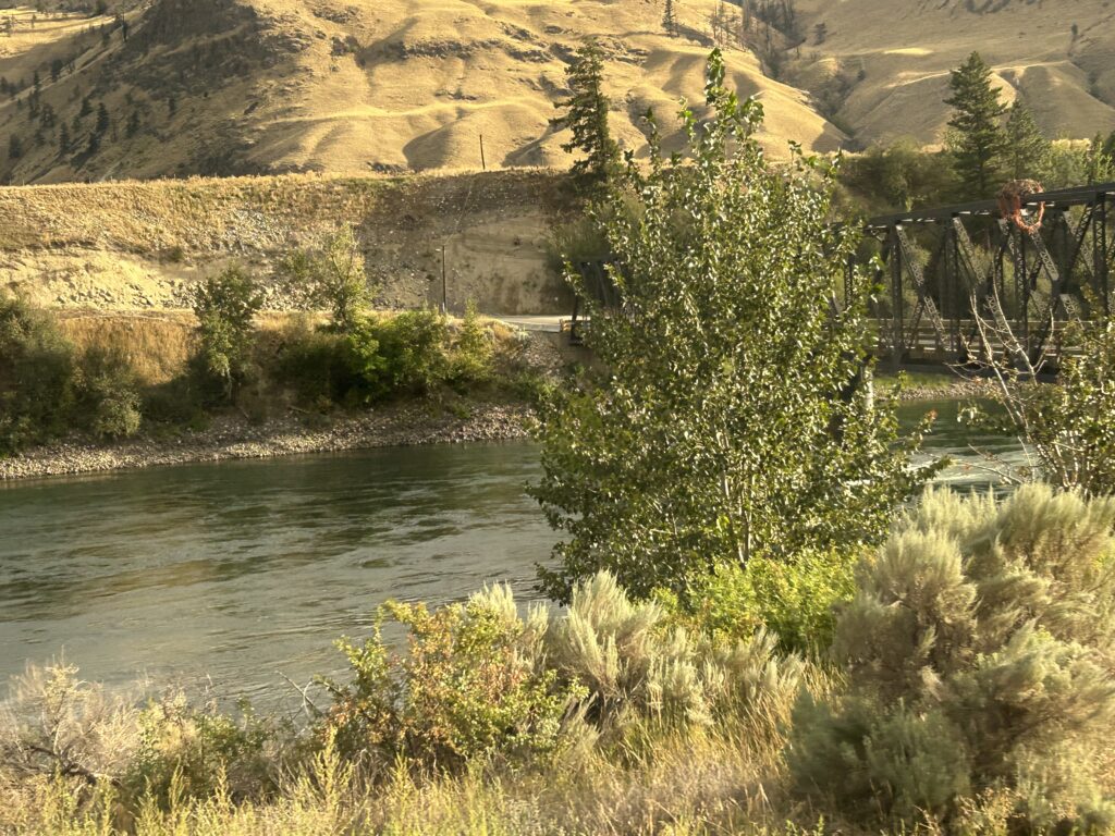
From Kamloops we passed the site of the Great Train Robbery in 1906. This last robbery netted the gang $15 and some liver pills. They were caught shortly afterwards by the Royal Canadian Mounted Police.
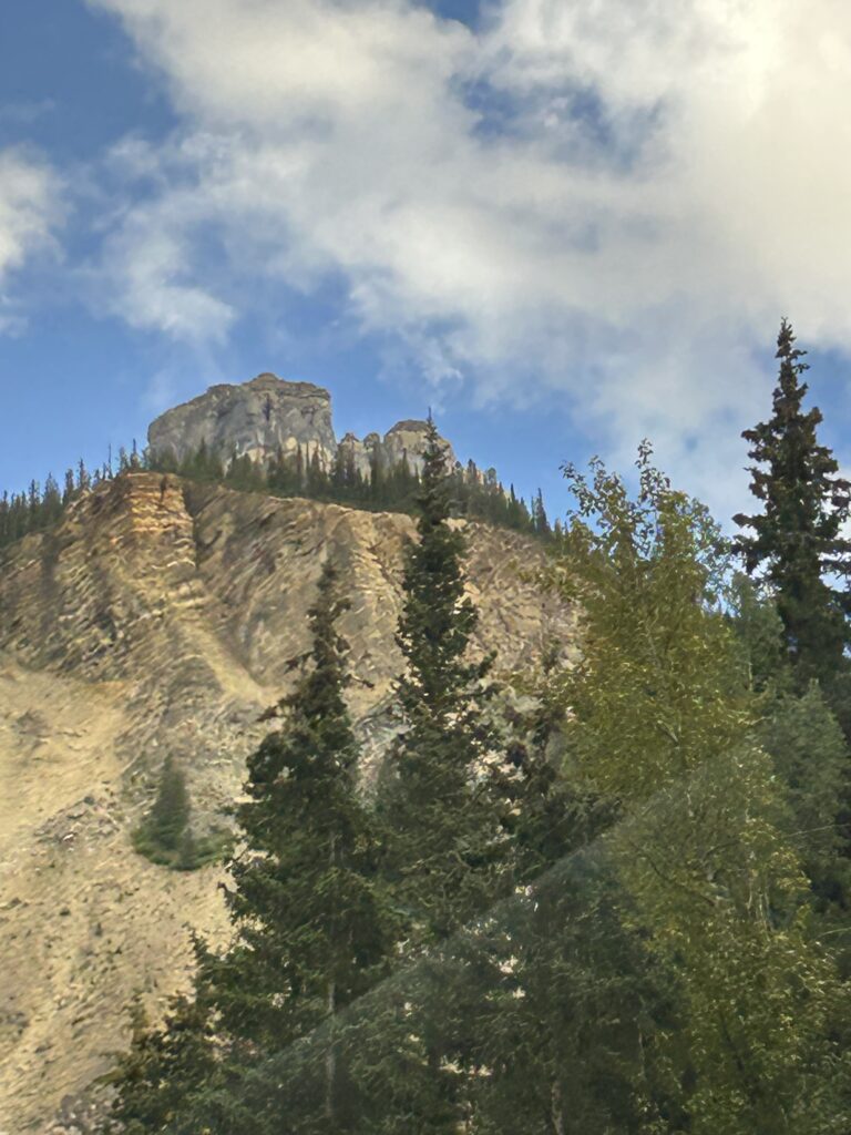
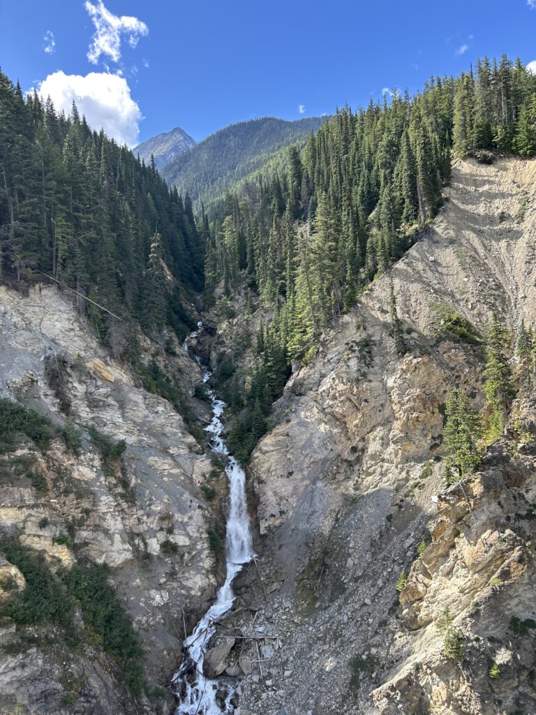
Along the mountain sides are Hoodoos, unique rock and clay formations. They were formed after the last ice age. As the ice retreated, sediment was deposited in the glacial lakes. When the lakes retreated erosion began and 10,000 years later the terraces and pillar-like hoodoos remain.
Next, we came to Little Shuswap Lake and the town of Chase. It was named after Whitfield Chase who came in 1865, lured by the gold rush. Today Chase is a popular fishing and boating area. After Chase, we come to the Mouth of the Adams River, the site of a Chinook Salmon run.
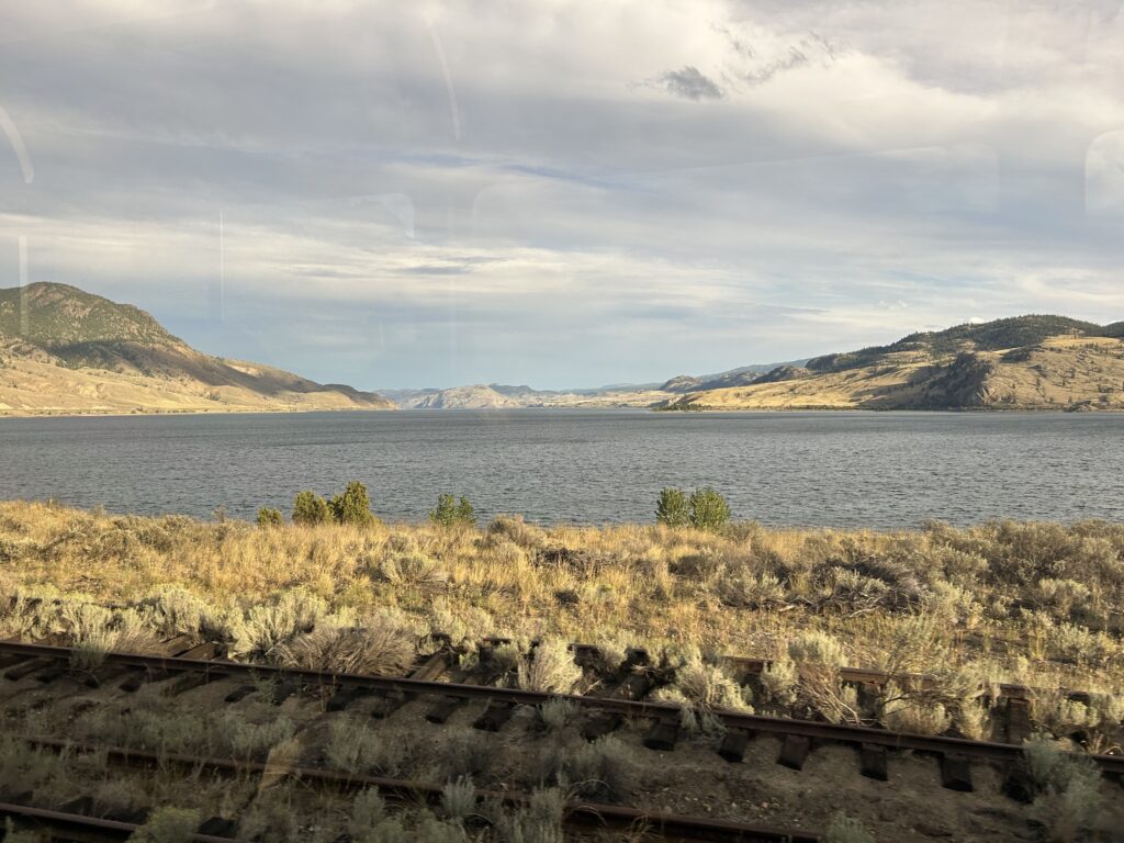
The Little River connects Little Shuswap Lake with Shuswap Lake. The latter is in the shape of a capital H, with four arms. The arms are called Salmon Arm, Shuswap (or Main) Arm, Anstey Arm, and Seymour Arm. Shuswap Lake has its own monster. A twenty-five-foot-long serpentine creature known as the Shuswap Lake Monster is reported to live in the lake. The lake is popular for House Boating.
The largest city on the lake is Salmon Arm with a population of 17,000. Its name comes from the number of salmon who spawn in this part of the lake. The area has over 250 species of birds and waterfowl as well.
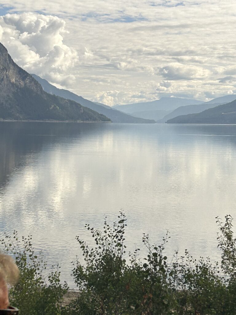
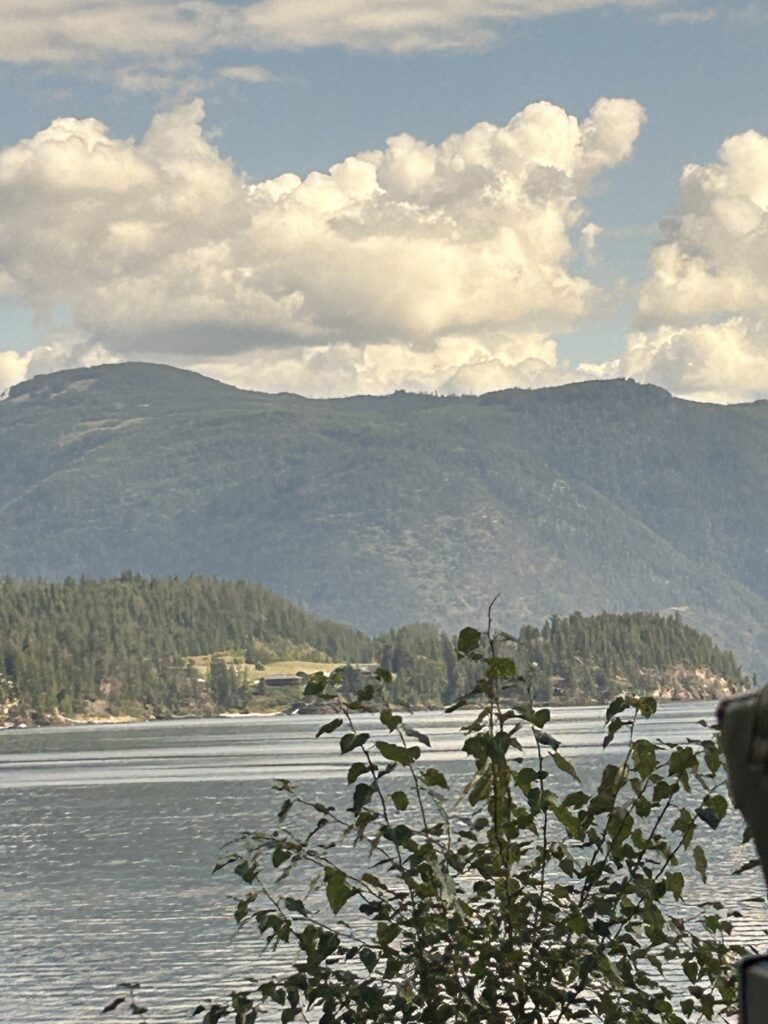
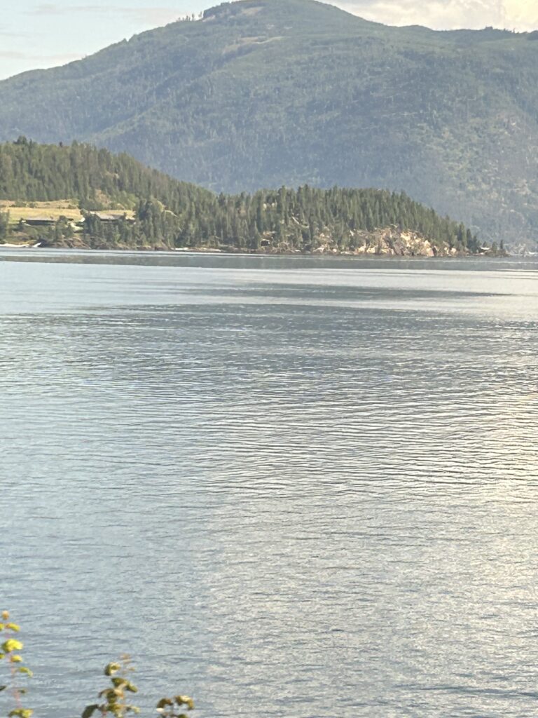
Located at the mouth of the Eagle River (the second river we will follow) is the town of Sicamous. The word describes the narrows or river circling the mountain. The Sicamous Channel is the only inland port in BC that does not freeze during winter. Sicamous lies between Shuswap and Mara Lakes and is often called the Houseboat Capital of Canada. Vacationer rent houseboats during the summer to explore the lakes. We crossed over a trestle bridge and could see the lake on one side the lush valley leading to Mara Lake on the other.
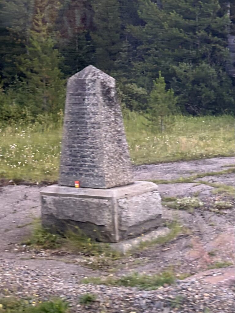
From Sicamous, we followed the Eagle River for about 30 miles until Three Valley Gap. On the way, we passed Craigellachie where the last spike of the Canadian Pacific Railway was driven by Donald Smith. A cairn marks the spot of this event which linked British Columbia with the rest of Canada. The cairn contains a stone from every province except Newfoundland and Labrador plus one from Scotland. The cairn contains a plaque that reads: “Here was driven the last spike completing the Canadian Pacific Railway from ocean to ocean November 7, 1885.” Craigellachie was named after a village of the same name in Moray, Scotland, the ancestral home of Sir George Stephen the first president of the Canadian Pacific Railway.
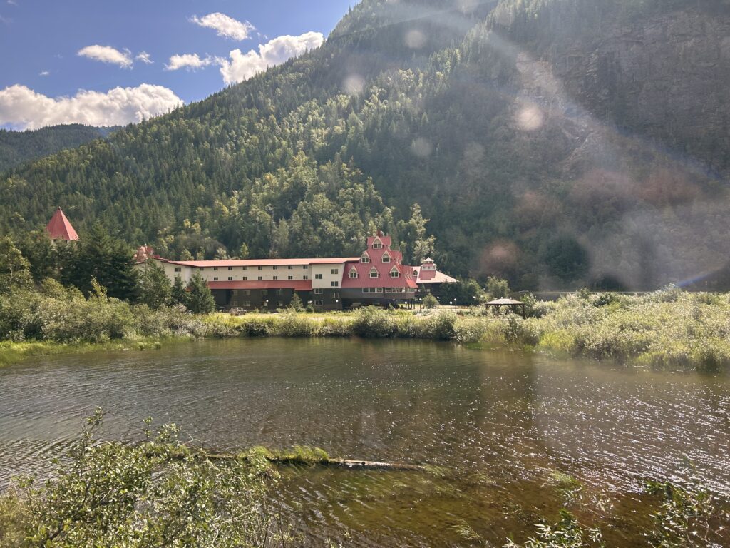
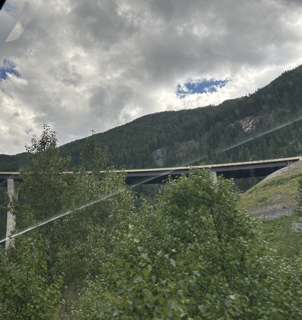
Three Valley Gap Resort came next. It has a “Heritage Ghost Town,” an antique car collection, and a roundhouse full of railway equipment. This is a popular vacation destination. Here we left the Eagle River to cross Eagle Pass into Revelstoke. We crossed the Columbia River Bridge. The 1,122 ft long bridge is the fourth constructed by the Canadian Pacific Railway to cross the river. The first, a temporary structure, built in 1885 still stands but is unused. The next one lasted until 1907, and the third until 1968. The present bridge is a suspension bridge. There is a plaque by the bridge with the following inscription:
“River of the West. For 2,000 km in two countries, the Columbia carves its way to the Pacific Ocean. Named after Robert Gray’s ship the Columbia, it was mapped in 1811 by David Thompson. This highway for First Nations, traders, and gold miners later became a route for sternwheelers. Dammed for flood control and hydro-electric power, the river continues to serve the Pacific Northwest—PROVINCE OF BRITISH COLUMBIA, 1966.”
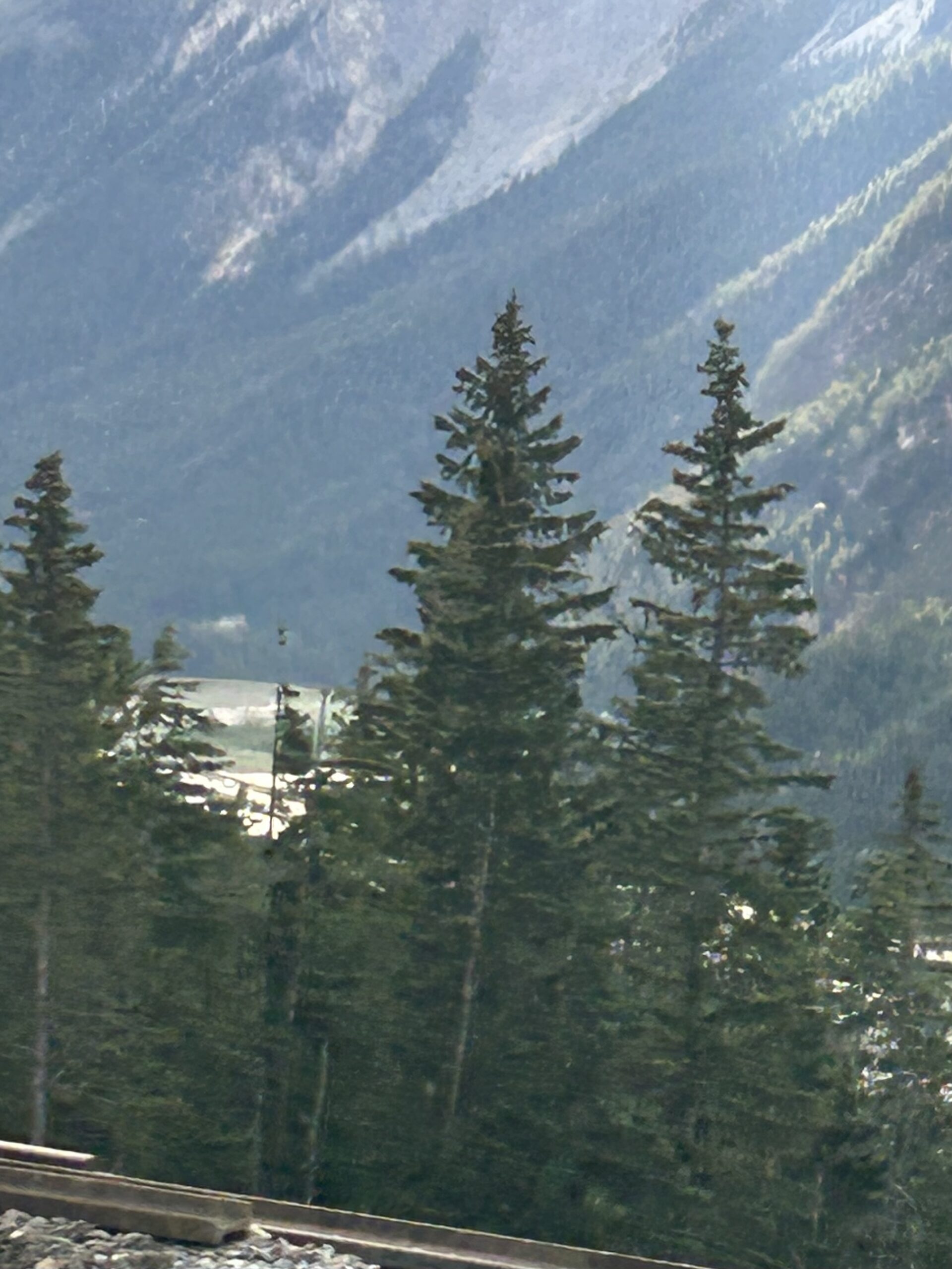
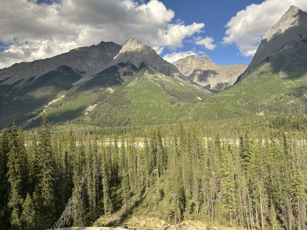
Revelstoke with a population of about 8,300 is situated near Mount Revelstoke National Park. Named after Edward Charles Baring, First Baron Revelstoke who significantly financed the Canadian Pacific Railway, it became a city in 1889. Hydro-electric dams on the Columbia have created Lake Revelstoke, Kinbasket Lake, and the Arrow Lakes. Revelstoke Dam is Canada’s highest concrete dam at 575 feet. The town has a Railway Museum with historic locomotives and snowplows. It is known for the snowiest single winter in Canada in 1971-72. Mt. Copeland received 80 ft of snow, and the town had 25-30 feet of snow. The area has become a big resort with the Revelstoke National Park, the first of three national parks we will visit today.
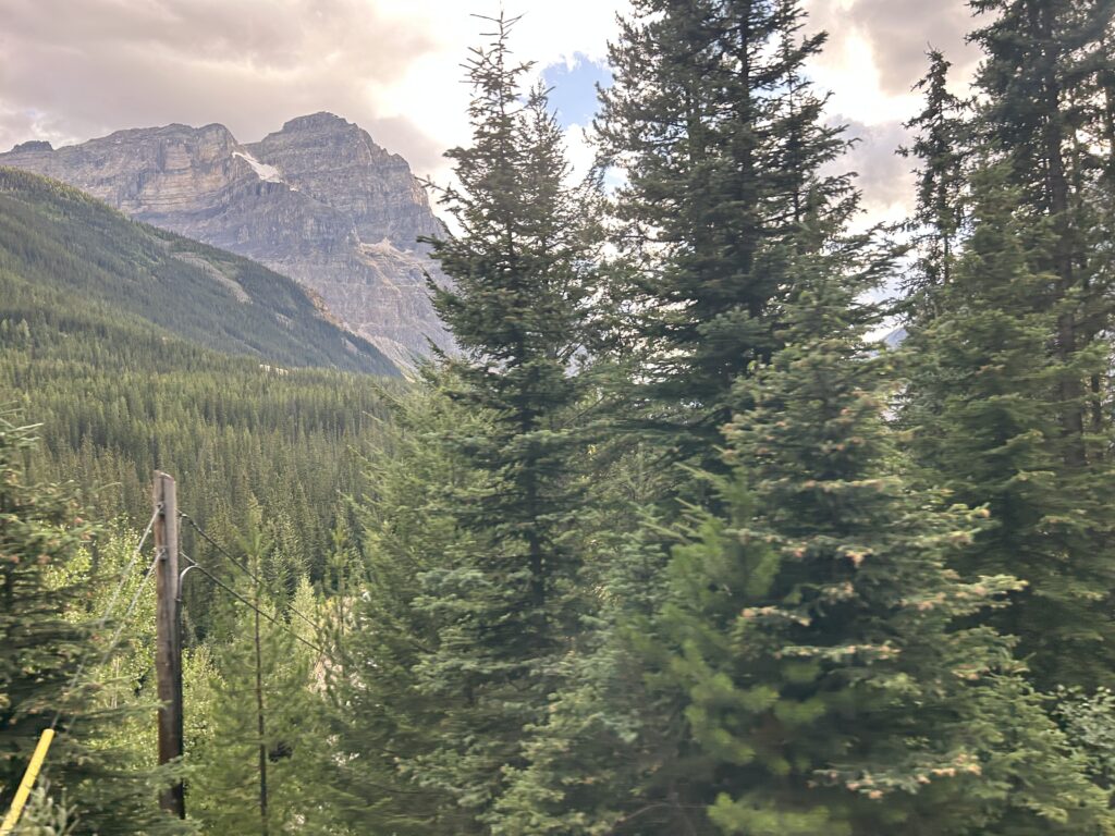
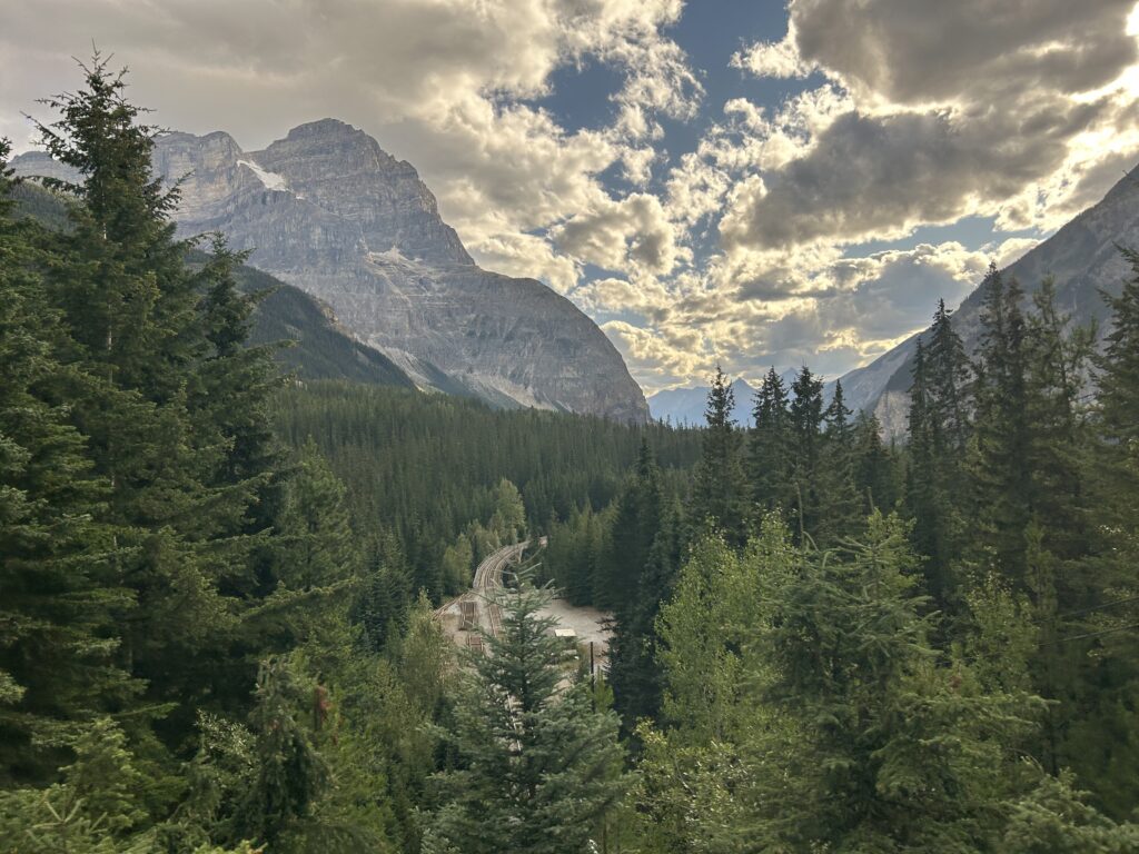
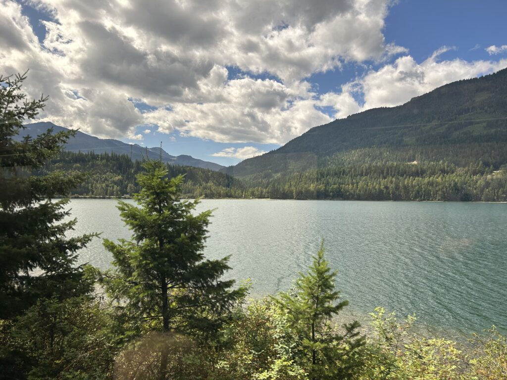
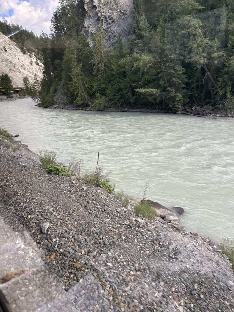
Leaving Revelstoke, we began following river #3, the Illecillewaet River. It has a liquid, gray concrete color because of the sediment washing down from the rocks. This is also an area with black bears. On this stretch, we traveled along the Illecillewaet, Beaver, Columbia, and Kicking Horse Rivers. We passed through the 5.02-mile Connaught Tunnel in Rodgers Pass and crossed the Stoney Creek Bridge on our way to Field in Yoho National Park, the third National Park today.
We cross the Illecillewaet River 10 times during our journey. Because it is an area with many avalanches, we pass through several tunnels and snow sheds that protect the tracks. The Stonemason’s Bridge was moved from one side of the river to the other to avoid avalanches.
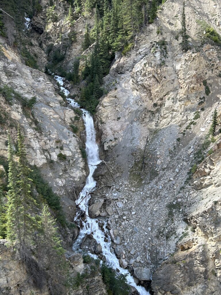
Shortly after leaving Revelstoke, we entered Canada’s Glacier National Park. Established in 1866, the park covers 521 sq. miles and includes part of the Selkirk and Columbia Mountains as well as Rogers Pass National Historic Site. We pass several beautiful waterfalls along the way.
When the first railway was built in 1885, it crisscrossed the mountains over Rogers Pass. Between 1885 and 1911 more than 200 people were killed by avalanches in the region. The result was the Connaught Tunnel, completed in 1916 through five miles of the mountains at 3,794 feet. This is the longest tunnel in North America. It was named for the Duke of Connaught who was the Governor General of Canada.
On the eastern slopes of Mt. Tupper, is the Stoney Creek Bridge. The original wooden bridge was replaced in 1893 by a steel, arch-shaped bridge. Because of the increased weight of locomotives, this bridge had to be replaced. Since the terrain was narrow, the new bridge was built above the old one without adding any weight to it. This new bridge spans 484 feet and is 295 feet above the creek bed.
Another bridge on this stretch is the Surprise Creek Bridge at 416 feet long. Next was the Mountain Creek Bridge, a 600-foot-long span 136 feet above the creek.
After Rogers Pass, we arrived at Beavermouth and Kinbasket Lake. Beavermouth was named after the Beaver River which flows into the Columbia here. The Beaver River is the fourth river we follow today. Kinbasket Lake was named after Chief Pierre Kinbasket who guided Canadian Pacific engineer Walter Moberly through the area.
This area is part of the Rocky Mountain Trench which extends from Flathead Lake in Montana, USA through British Columbia, Canada, to the Liard Plain south of the Yukon Territory.
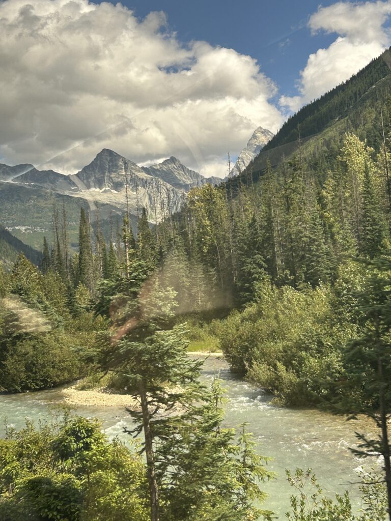
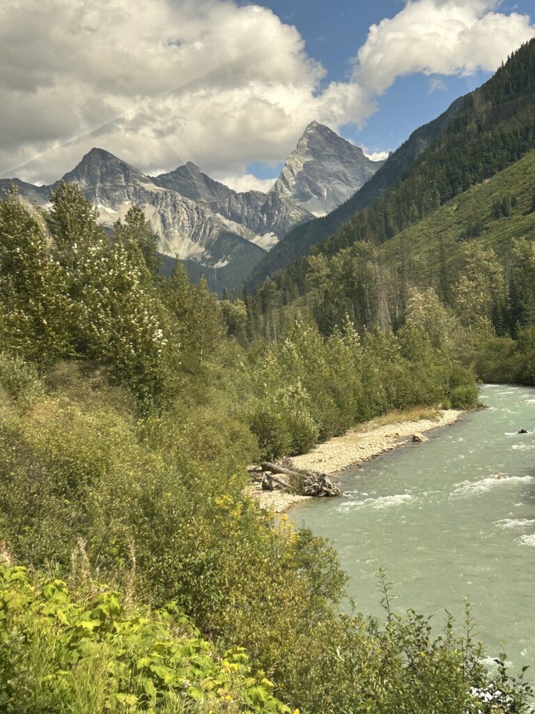
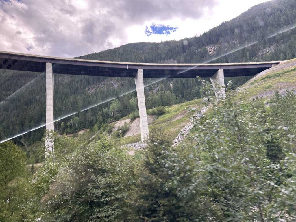
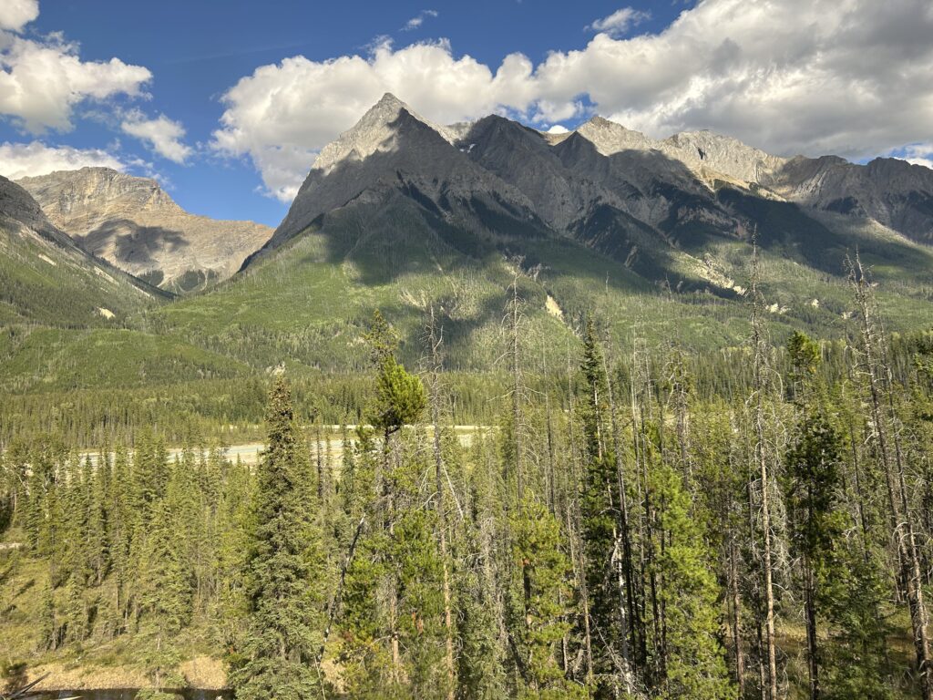
The next town was Golden which began as a Canadian Pacific Construction Camp. Here we have the first glimpse of the Canadian Rockies. It lies between Glacier and Yoho National Parks. Kicking horse Ski Resort lies 4 miles west of Golden. It features over 120 trails over 3,486 acres. Here we meet the fifth river of the day: the Kicking Horse River. It flows and we travel through Kicking Horse Canyon, and the railroad crosses the river seven times. It was named in 1858 when James Hector a member of the Palliser Expedition was kicked by his packhorse while exploring the river. The Kicking Horse Pass which connects through the Rockies to the valley of the Bow River was the main route across the Rockies. Kicking Horse River is famous for white water rafting. The end of this section is the town of Field. There was a log station and railroad hotel here until 1958. We passed by the Golden Skybridge, the highest suspension bridge in Canada. It is 426 feet above the canyon and 459 feet long.
CPR track workers in Field discovered the fossils of the Burgess Shale. Commonly called by the workers “the stone bugs”, the first fossils were discovered on Mt. Stephen. In 1909, Charles D Walcott discovered the Walcott Quarry on the slope of Mount Field.
A monument at Kicking Horse Pass commemorates Sir James Hector K.C.M.C., geologist and explorer who first encountered Kicking Horse Pass in 1858. He was one of the earliest scientists to explore the Canadian Rocky Mountains.
The last section for today takes us from Field to Lake Louise. Outside of Field are the Spiral Tunnels. The unique spiral tunnels are modelled after a system in Switzerland. They were necessary to reduce the grade from 4.5% to 2.2%. The Upper Spiral Tunnel travels through Cathedral Mountain and is 3,255 ft. long, turning about 290 degrees. The Lower Spiral Tunnel goes through Mt. Ogden and is 2,923 feet long and turns about 230 degrees. In effect the railroad doubles back on itself twice, tunneling under mountains, and crossing the river twice.
Just after the tunnels, we pass Wapta Lake 5,203 feet above sea level. Wapta means “river” and is the source of the Kicking Horse River. Three miles later, we pass the Continental Divide. Until this point, all the rivers flow west and end up in the Pacific Ocean. From here the rivers flow East into Hudson Bay and the Atlantic Ocean. This is also the boundary between Yoho National Park in British Columbia and Banff National Park in Alberta, and the boundary between the two Provinces.
From the Continental Divide to Lake Louise is only about six miles, so our day is nearly over. We are served warms scones and a beverage of our choice before we leave this wonderful train for the next leg of our journey.
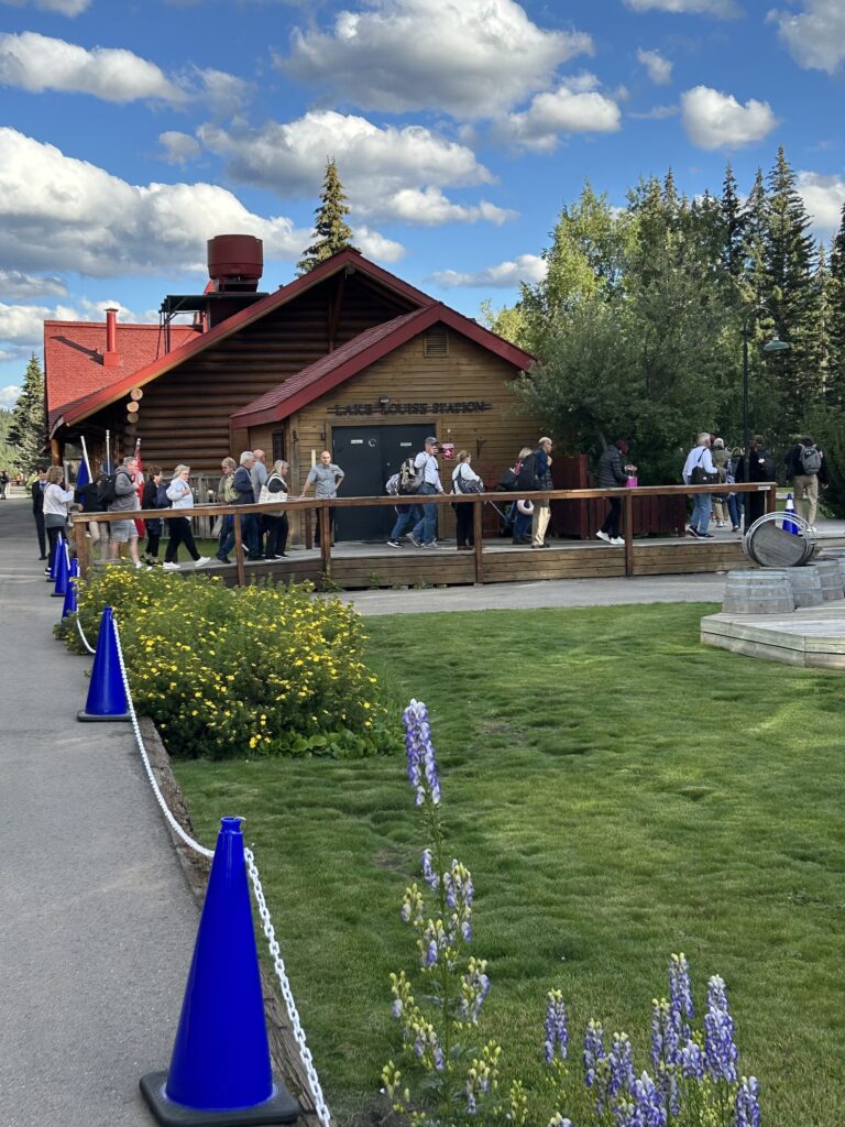
The log railway station is the first of six mountain stations built and is one of 12 heritage railway stations in Canada. Lake Louise is the highest permanent settlement in Canada at 5,680 feet with a population of 1,300. In the summer more that 13,000 people a day visit the lake. The station has been restored, though only the Rocky Mountaineer uses it. And it has been turned into a gourmet restaurant.
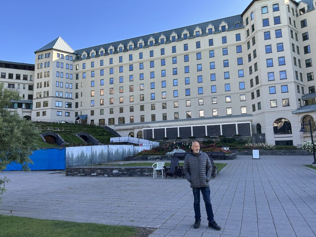
From the station, we were transferred to the stunning chalet on this emerald-green lake surrounded by sheer mountains and glaciers.