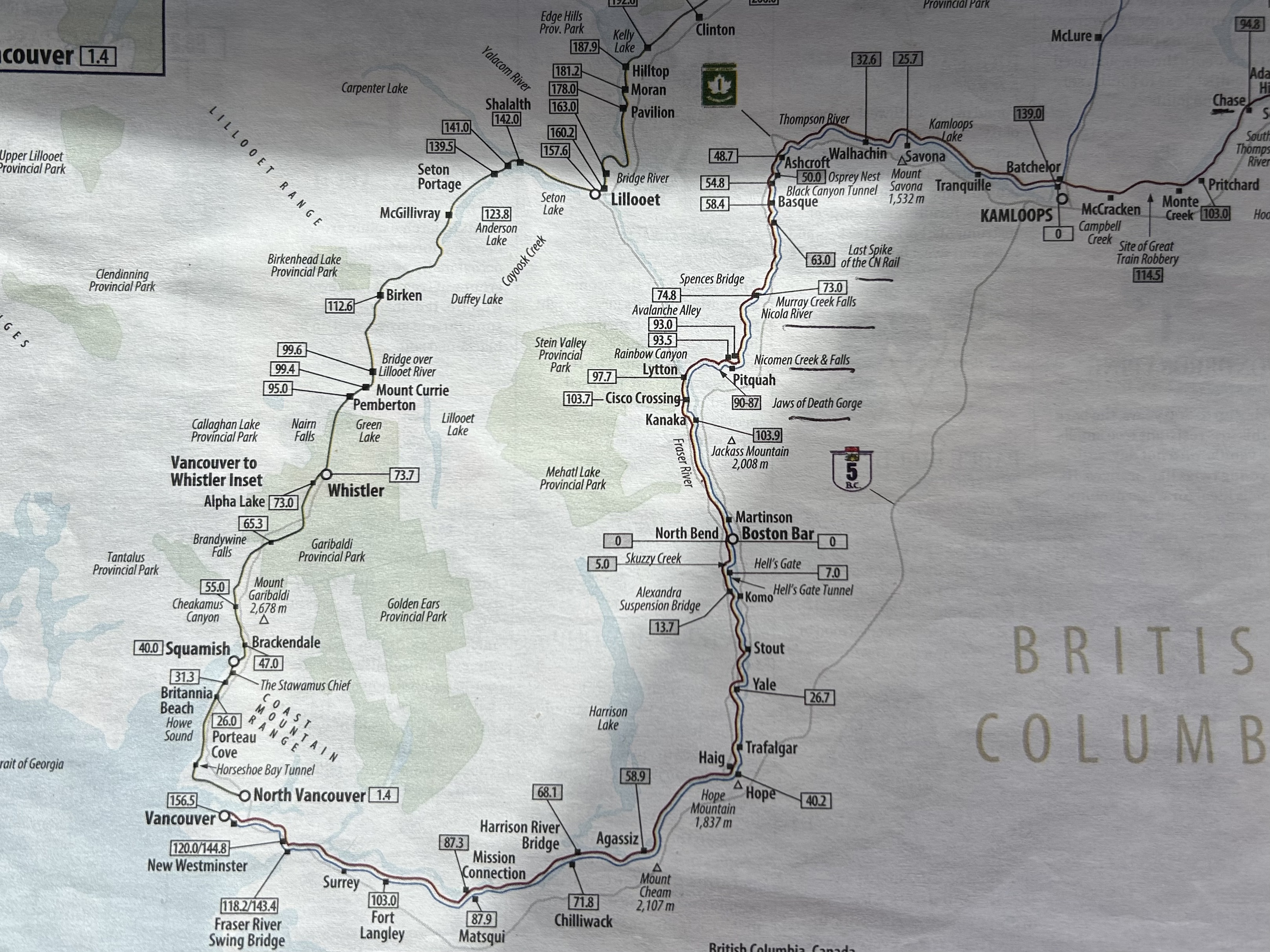
Vancouver to Kamloops
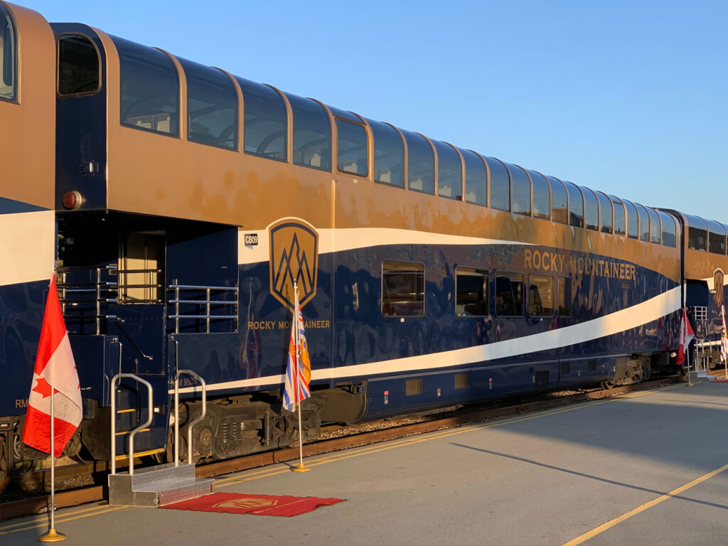
The Rocky Mountaineer is a beautiful train. The car we were in had large windows and comfortable, roomy seats. As soon as we were situated, an ample and delicious breakfast was served. First a linen place mat was placed on our trays. Then coffee and a scone was delivered and our order for breakfast taken. Then a full breakfast came. We had three workers in our car—Chase, Chelsea, and Angus. Chase was the leader. He and Chelsea provided most of the commentary and explanation. Angus was responsible for the food. He took good care of Bob with tasty Gluten-free choices. A bagpiper played as we were loading and left the station; then a few yards down the tracks, the personnel and bagpiper stood along the tracks and waved good bye to us.
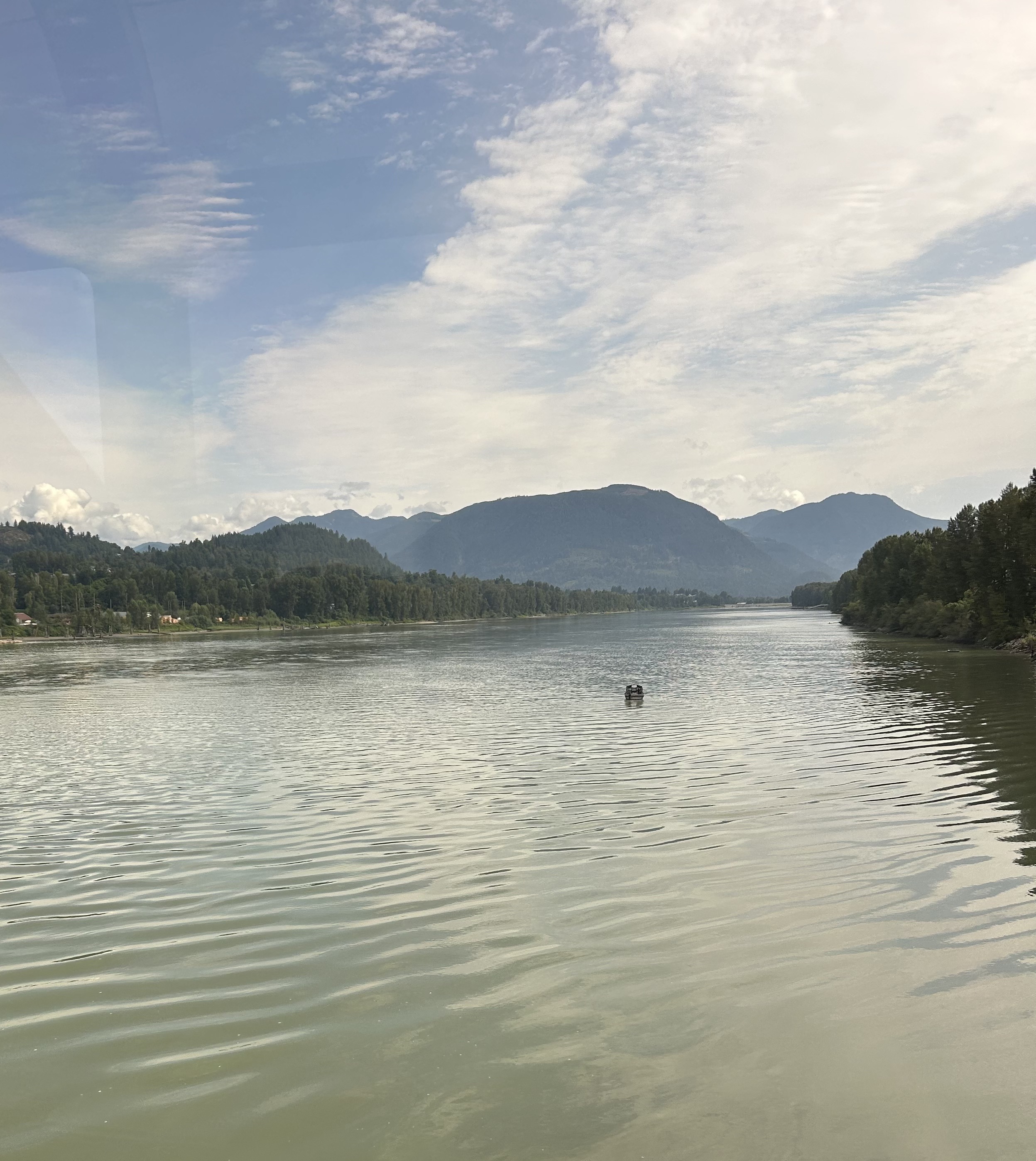
We left Vancouver and headed southeast through New Westminster to the first landmark-the Fraser River Swing Bridge (or New Westminster Bridge). This bridge marks the passage from BNSF Railway tracks to the Canadian National Railway tracks. From there we continued mostly east to Ft Langley. For 12,000 years this has been a cultural center of the Indigenous people of the West Coast. The original fort here was built by the Hudson’s Bay Company in 1827.
Next, we passed over the Fraser River at Matsqui Junction—the Mission Connection with the Canadian Pacific Kansas City Railway. We followed the Fraser River to Cisco.
The bar opened at 10 and we were served drinks (non-alcoholic and alcoholic) and snacks, even though we had barely finished eating breakfast.
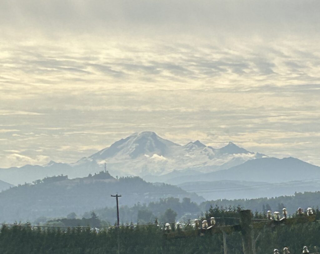
Mission, our next town, was named after St. Mary’s Indian Mission, a First Nations residential school in British Columbia, established in 1861 by Roman Catholic missionaries. These schools unfortunately caused long-lasting suffering to those who attended. The Fraser River Heritage Park is located on the site of the school. Here we were just a 15-minute drive from the U.S. Border, and we could clearly see Mt. Baker, the northernmost volcano in the Washington Cascade Range.
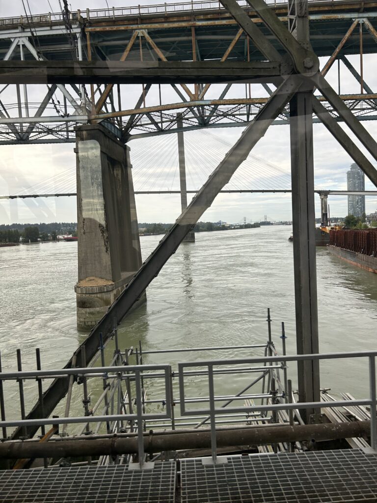
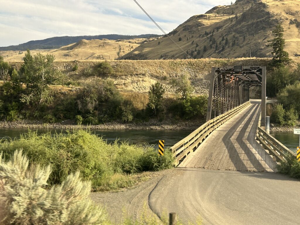
At the time of founding, the swing-span Mission Railway Bridge finished in 1891 was the only crossing of the Fraser River in the Fraser Valley below the Alexandra Bridge and all rail traffic between Vancouver and the United States was routed through Mission. In 1904, the New Westminster Bridge close to Vancouver was built. The rail bridge at Mission doubled as a one-way alternating vehicular bridge until 1973, when a long-promised new bridge was finally completed. The bridge’s location is geographically important at the head of the tidal bore on the Fraser River. You can see the new bridge behind the older one in the photo.
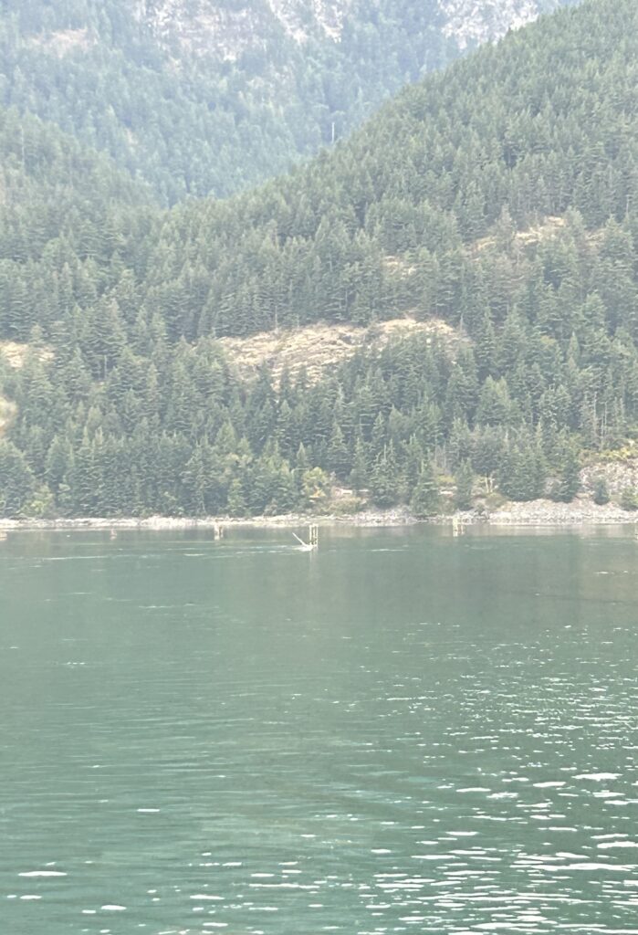
Ten miles later, we reached the Harrison Mills and the Harrison River Bridge at the foot of Mt. Woodside. This 11-span bridge is 962 ft. long and crosses the Harrison River. We passed the Kilby General Store, built in 1922. Because this area is a flood plain, the original buildings are all elevated. There is an archaeology site known as the Fraser Valley Pyramids that is being excavated. Also, this area is reported to have the greatest number of Sasquatch sitings in the world.
The next town we passed was Azassiz, named after Captain Lewis N. Agassiz, an Englishman who came to British Columbia during the Gold Rush. This is a small community of about 6,000 people. In 1889, what is now the Pacific Agri-Food Research Centre, was established as one of the first five experimental farms in Canada. From here we could see Mt. Cheam which stands 6,913 ft.
At this point a three- course lunch was served to us with beverages of our choice. Beverages were available all day from 10 o’clock on. No one in our car was refused.
Hope B.C. came next and is the chainsaw capital of the world. Located at the eastern end of the Fraser Valley, it is bordered on three sides by mountains. The town sits at the junction of the Fraser and Coquihalla Rivers. Ft. Hope was built in 1848 and was so named because of the “hope” that its location would provide an easier route for the fur traders. The town was transformed by the Fraser Canyon Gold Rush in 1858. Logging and tourism are its prime industries today.
In 1982 the Rambo film First Blood was filmed here. The Kawkawa Bridge in the film later destroyed. Today a wood carved statue of the character John Rambo was placed in the town.
Fishing on the Frasier River from Hope to Lillooet is reserved for First Nations people only. This area is a rainforest.
The section of the Fraser River from Hope to Lytton separates the Cascade Mountains and the Coast Mountains.
From here we headed mostly north along the Fraser River to Ashcroft where we turned east into Kamloops, our destination for the day.
The next point on this stretch of the journey was Yale, the location of Ft. Yale. This fort was also established in 1848 and named after James Yale, a leader in the Hudson’s Bay Company. It was abandoned in a year when Fr. Hope was determined to be a better location.
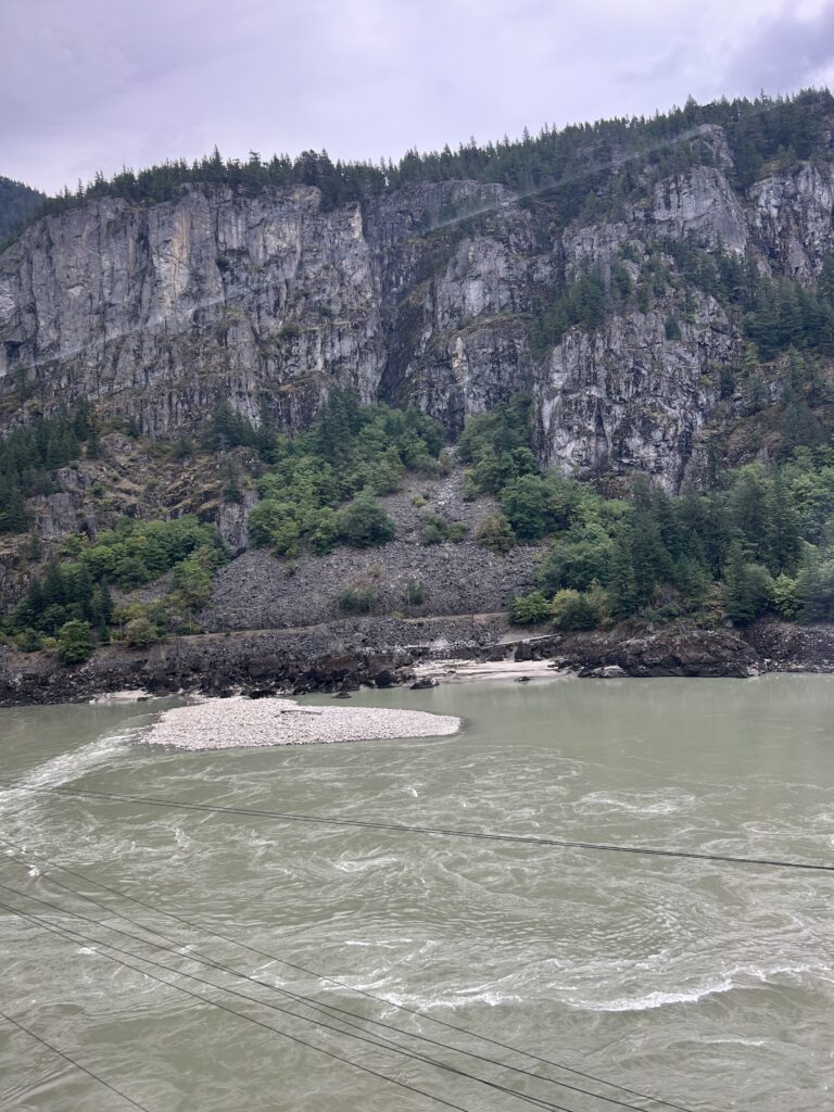
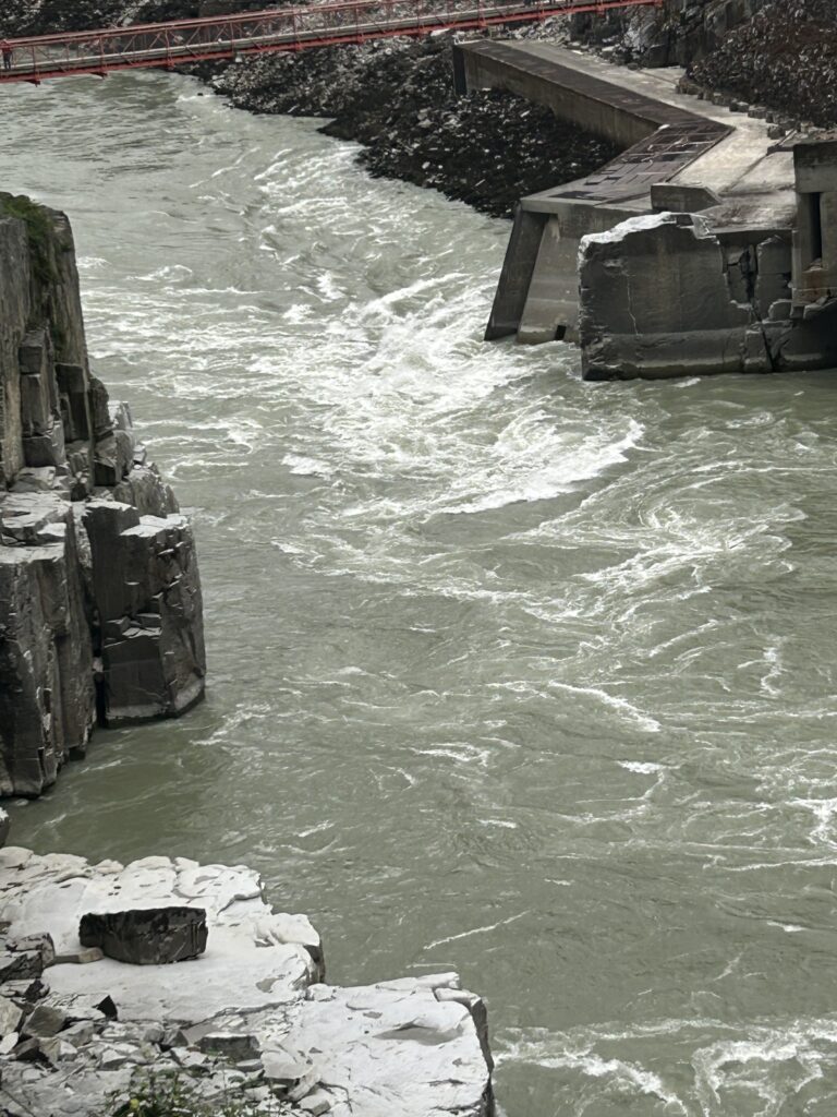
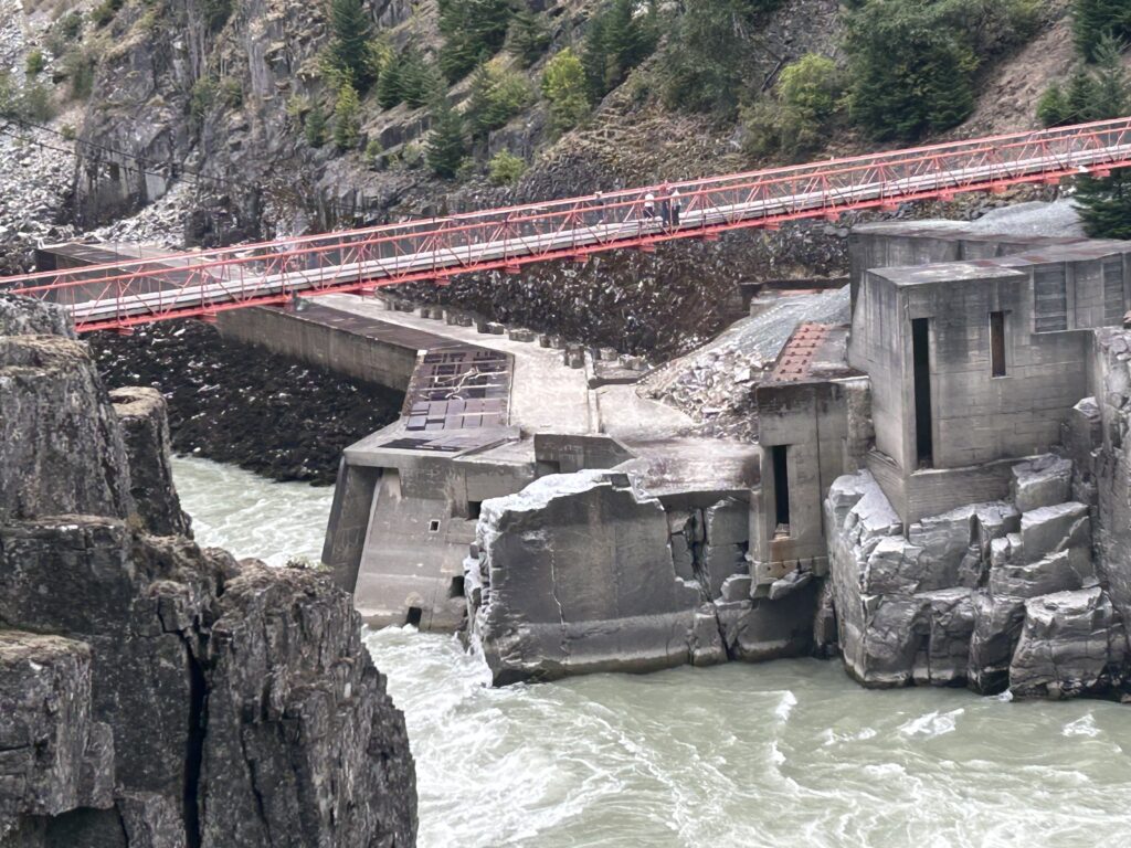
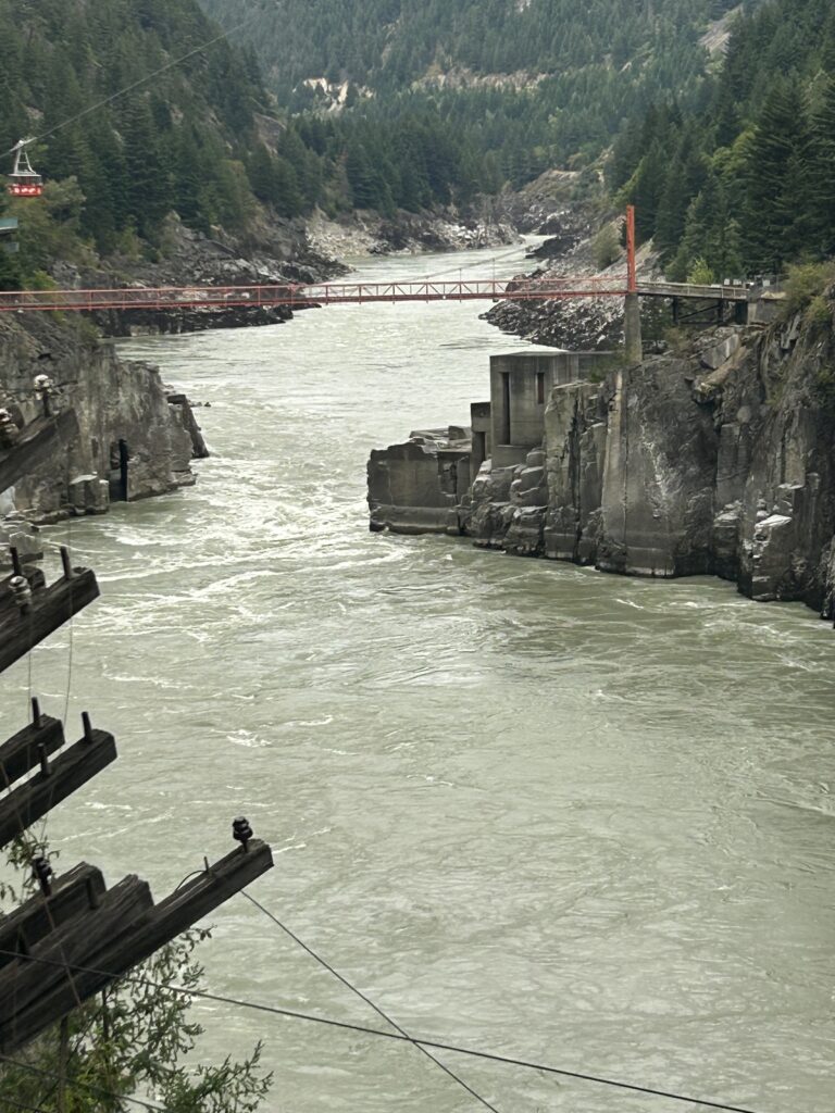
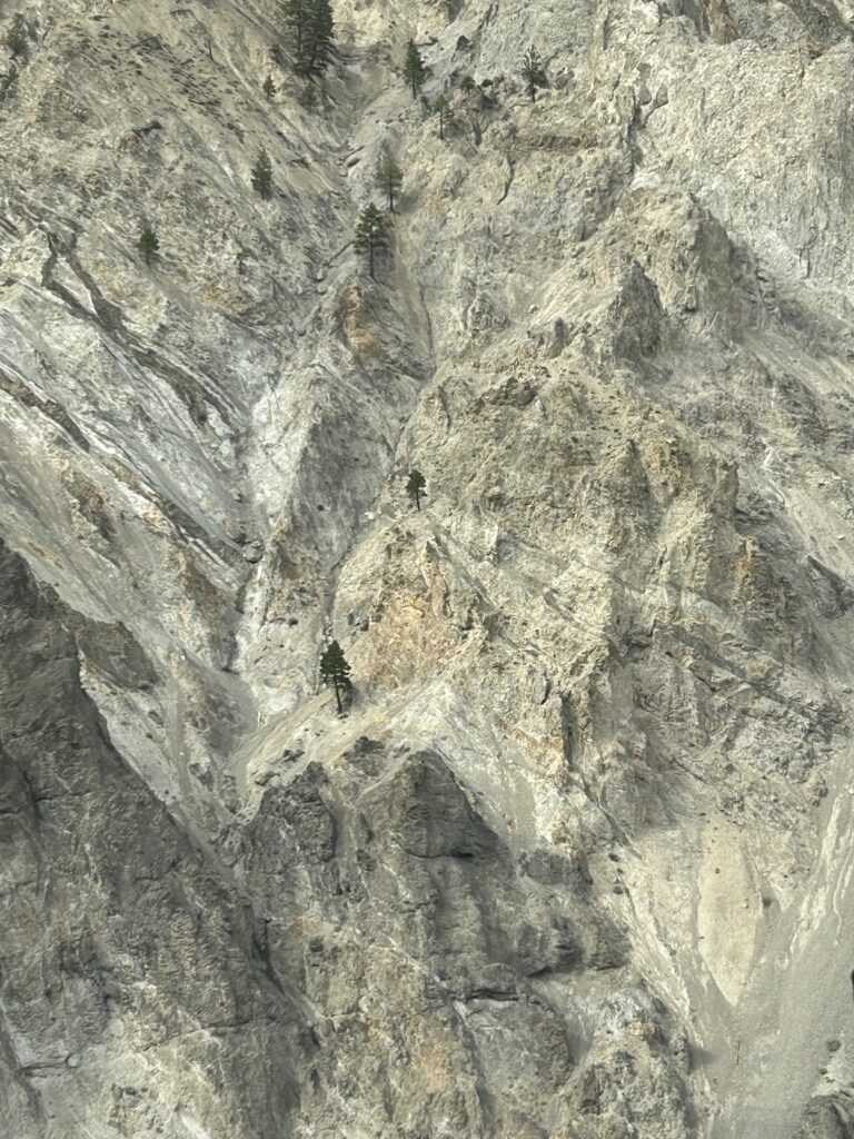
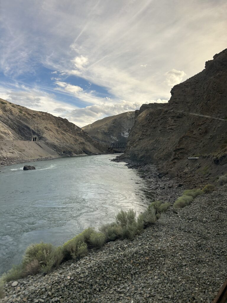
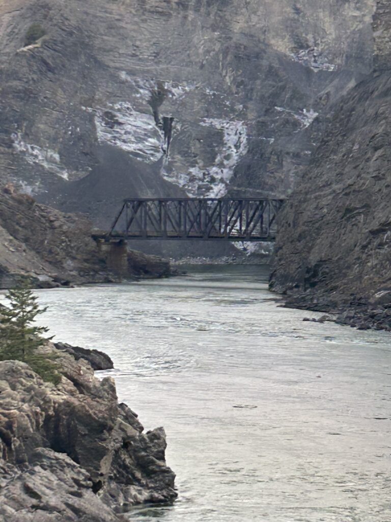
Soon we were next to Hell’s Gate, an abrupt narrowing of the river. Here, the gorge is only 110-feet wide and up to 200 million gallons of water passes through at this point. The height of the river can vary as much as 80 feet throughout the year. It was named by Simon Fraser in 1808 because it reminded him of the “Gates of Hell.” The 3,000 ft. towering walls of the canyon plunge toward each other above the rapids.
On our way the next landmark was Jackass Mountain. At 6,588 ft, the mountain was named for the mules that traversed it in the 1860s during the Gold Rush, traveling along the Cariboo Wagon Route. At this point we had another beverage service and snack.
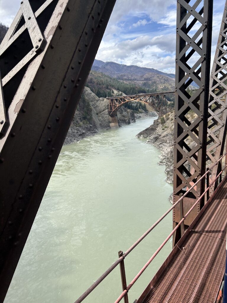
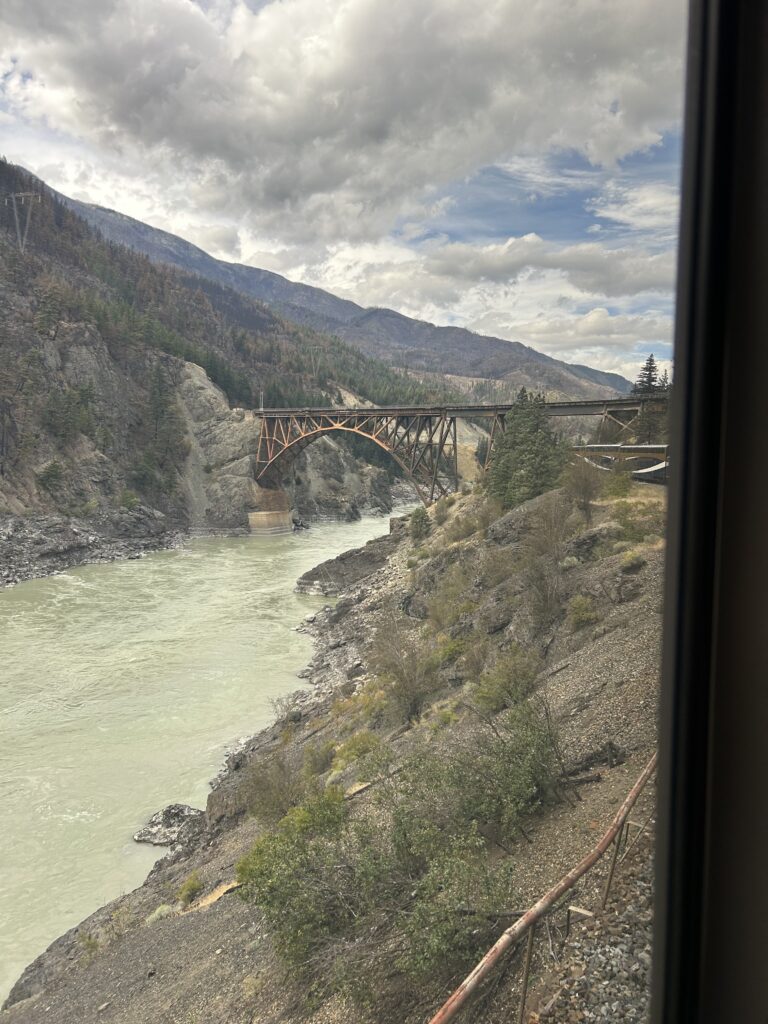
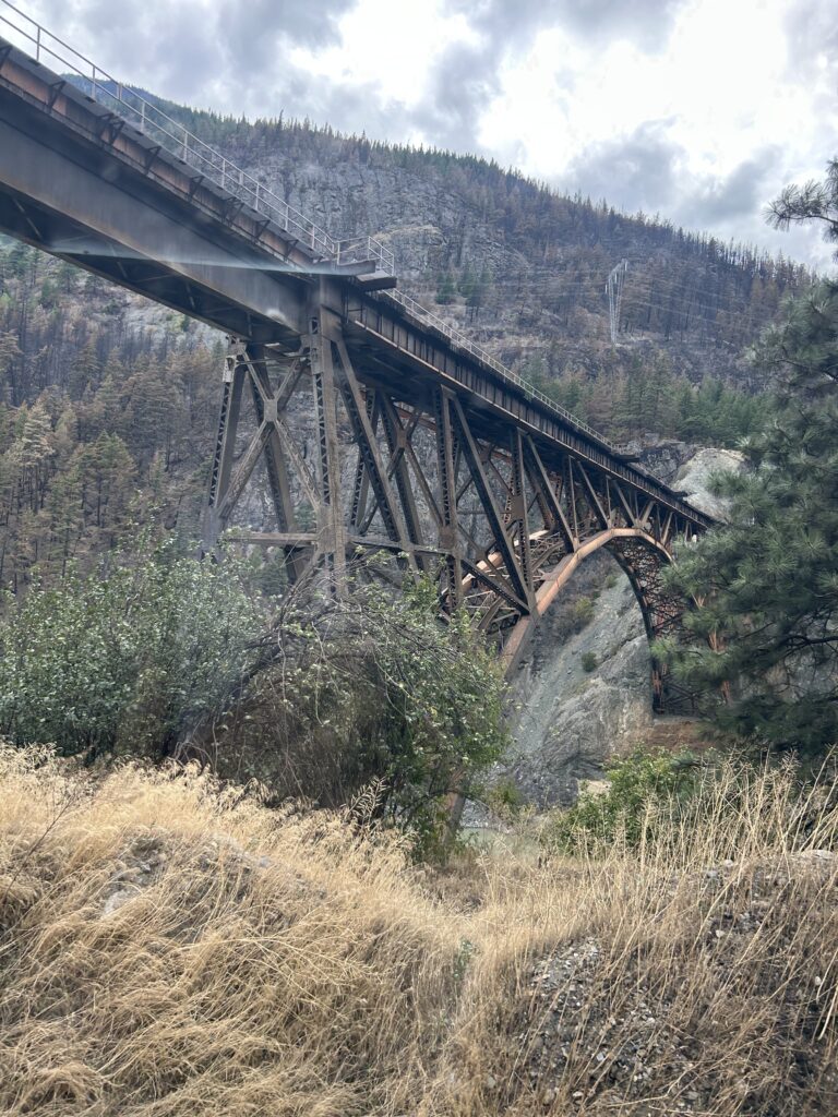
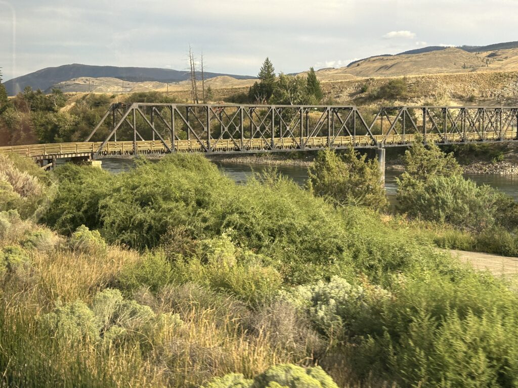
At Cisco Crossing we saw the longest single-span bridge on the Canadian National line. The current bridge was built in 1912 and was the first cantilever-type railway bridge in North America. The bridge crosses a rocky gorge. This site demonstrates what happens when two railroad companies each build a track where there is barely room for one. The Canadian Pacific railroad was first and chose the easier route across the canyon. The Canadian National Railroad had to cross the other way along the steeper side and built an orange truss-arch bridge. Both bridges are used today.
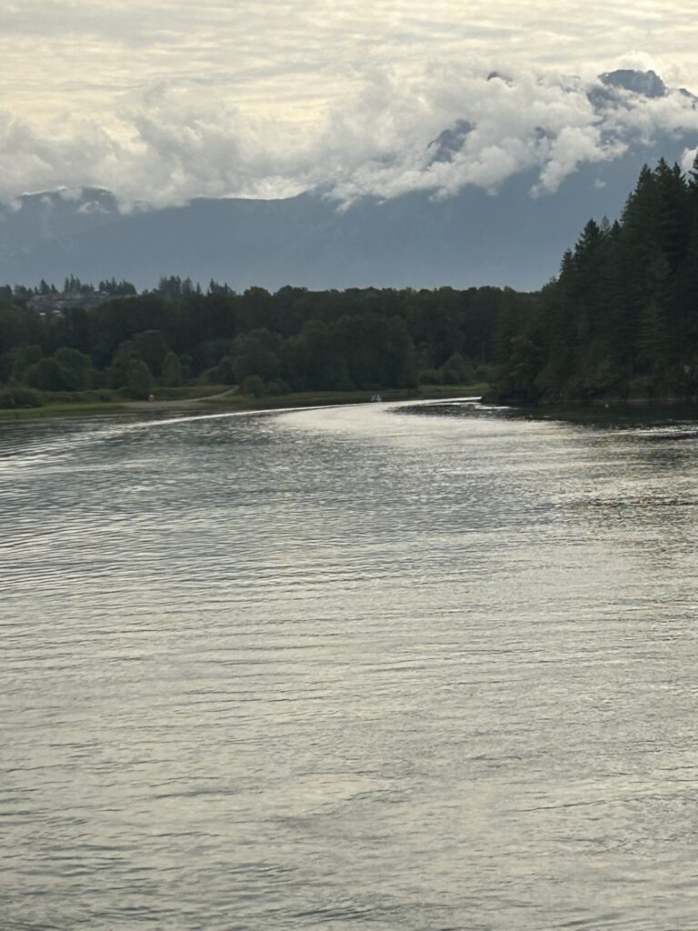
At Lytton, the Thompson River meets the Fraser. The Thompson is much clearer. That is because the lake it flows through filters the water. The difference is striking. Forests of Douglas Fir and Ponderosa Pine dominate the slopes around Lytton.
While the area has been inhabited by First Nations peoples for over 10,000 years, the town was founded during the Fraser Canyon Gold Rush. It flourished as a stop on major transportation routes. It is often the hottest spot in Canada even though it is above the 50th parallel. In 2021, during a record heat wave, this area burned in a huge wildfire, and 90% of the town was destroyed. Now it is a village of about 250 residents.
In the middle of the river east of Lytton is a large rock which has been named The Frog because of its resemblance to a frog. This is a favorite place for rafters and boaters. Lytton is the self-proclaimed River Rafting Capital of Canada.
There are 30 tunnels between Yale and Lytton on the Canadian Pacific tracks. One is a half mile long.
Just past Lytton, we passed the Rainbow Canyon. The rainbow colors are caused by the minerals in the rock wall, giving it a rainbow effect. The greens and purples are from the oxidized copper; iron turns orange and red; the yellows are from sulphur deposits.
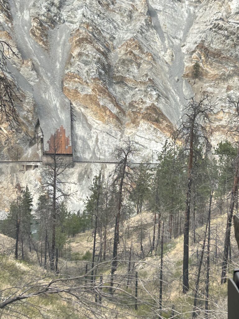
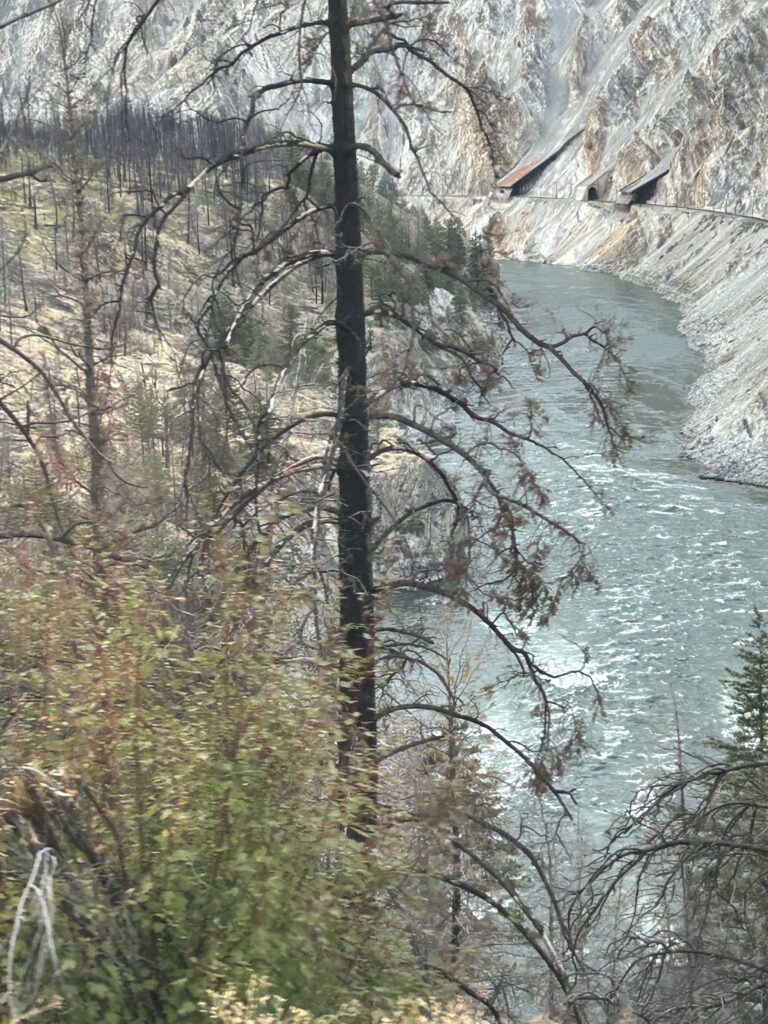
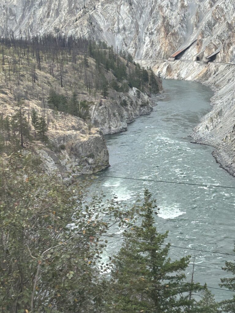
From the Rainbow Canyon, we moved into Avalanche Alley. Slide fences protect the tracks from rockslides. Then the banks of the Thompson River become steep and narrow, creating turbulent waters. This is the Jaws of Death Gorge and a favorite spot for river rafters.
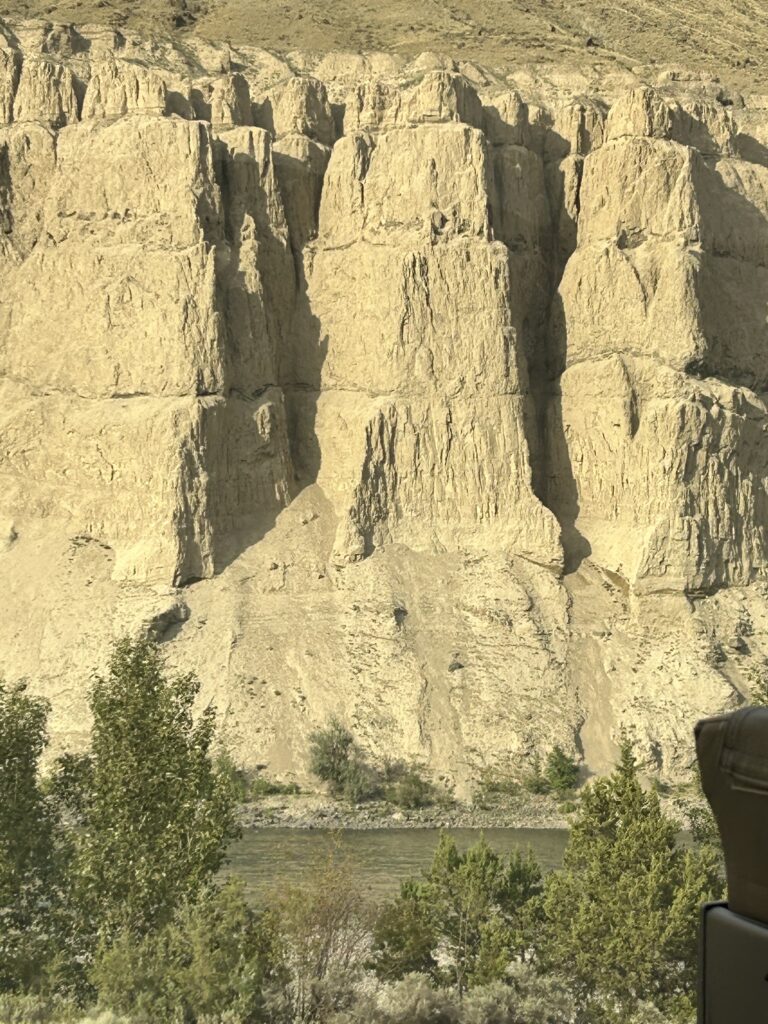
The cliffs bordering the Thompson River east of Lytton are banded gneiss cliffs. They are part of the Skihist Ecological Reserve and are about 225 million years old.
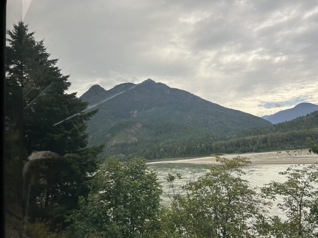
Spences Bridge came next, built in 1865, on the Cariboo Wagon Road. It marks the northern end of the Cascade Mountains. Here the Thompson and Nicola Rivers meet. To the west of the train are the Murray Creek Falls.
From Lytton the landscape changes markedly into a drier, semi-arid terrain.

About 20 miles on, we passed the spot where the last spike of the Canadian National Rail was driven on Jan. 23, 1915.
Between Basque and Ashcroft, we passed the Black Canyon Tunnel. Here 12 days after the last spike in the railway line was driven, this tunnel collapsed, causing the opening of the railway to be delayed. Today, it is part of the Kettle Valley Rail Trail for hikers. Along the way were several large Osprey nests. We have seen Ospreys and Eagles all along the trip. On top of the Wallachin Bridge sits a huge Osprey nest, the largest on the route. It is believed to be over 100 years old.
In 1862, two Brits came to British Columbia and established a ranch here called Ashcroft Manor, named after their family home in England. One of the brothers, Clement Cornwall, became one of the first senators of the province and the Lt. Governor of British Columbia in 1881. Today the town of Ashcroft has a copper mine that produces 4% of the world’s copper. It is also a large cattle ranching area. Also, it is one of the driest places in Canada, with less than 10 in of annual rainfall.
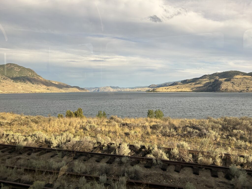
Coming into Kamloops, the Thompson River widens into a 25-mile-long lake, Kamloops Lake. The water is clear blue. The town of Savona is located at the Thompson River Outlet from the lake, and Kamloops is located at the head of the lake. The name Kamloops comes from the First Nation word “Tk’emlúps” meaning “Meeting of the Waters.” This refers the meeting of the North and South Thompson Rivers.
Kamloops was our destination for today. It was interesting on this first day to watch the progression of vegetation. We started on the Pacific Coast with pine and fir forests, moved through rolling prairies to rainforest and now desert.
The food and drink on the train were abundant and delicious. Because we arrived late, we even had a third snack before we left the train for our hotel. We didn’t need more.
When we arrived at our hotel, our bags were in the room, so we could just relax. It was a wonderful day.