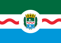
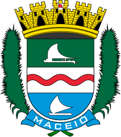
After two days at sea, we arrived at Maceió. A pilot boarded the ship at 6 a.m. to guide us into port. Maceío is the capital of the state of Alagoas in Northeast Brazil. It is located between estuarine Mundaú Lagoon and the Atlantic Ocean. It has a population of 1 million and a coastline of 40 km. The city was one a sugar plantation and mill complex in the nineteenth century. Ships came to take wood from the bay; then sugar began to be produced. Exporting of tobacco, coconut, leather, and some spices followed. It is known for its many sandy, clear beaches and Coral Reefs.
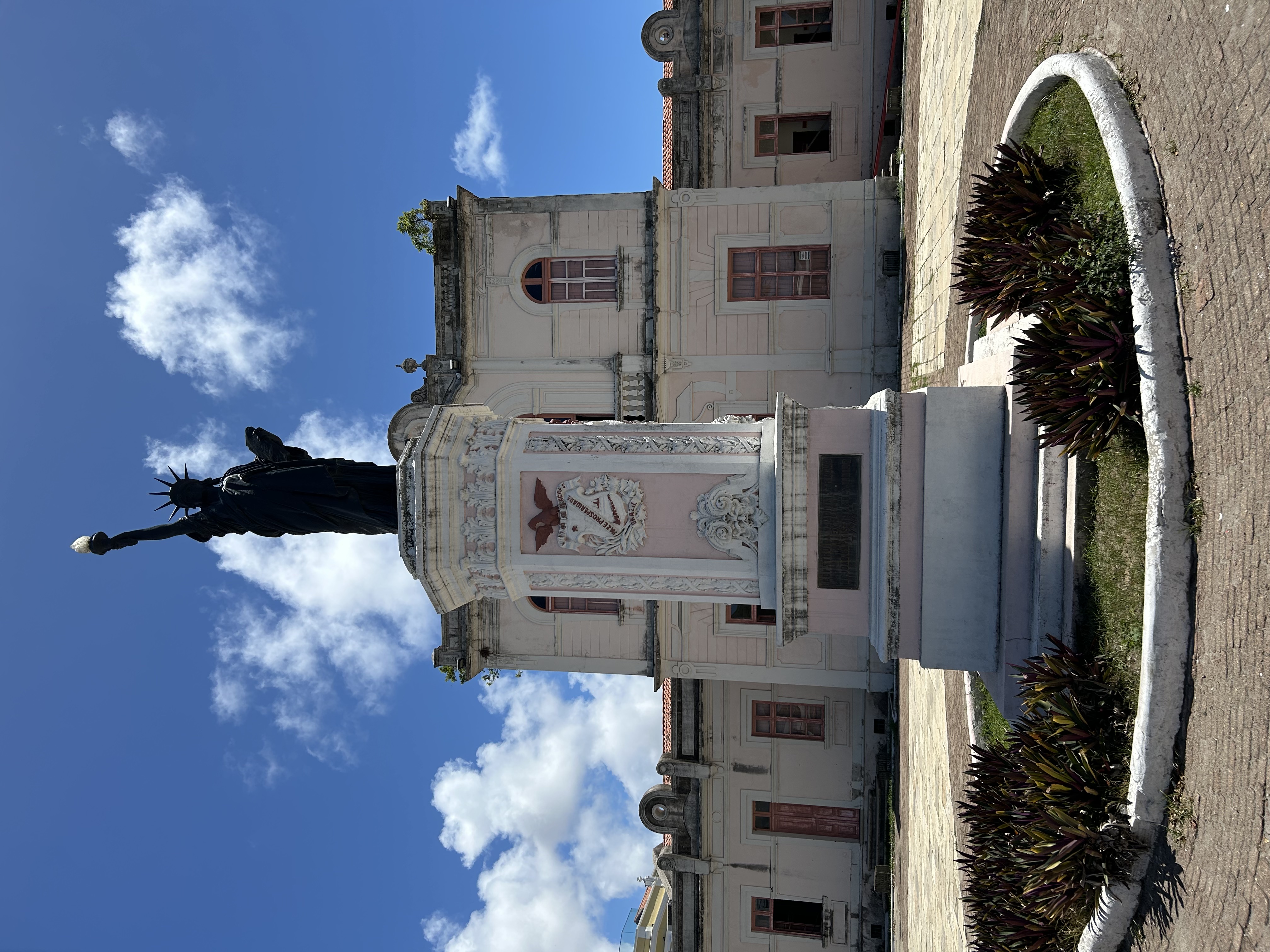
Our first stop on our tour was in the Jaragua neighborhood, the oldest part of the city. We left the bus at the Praça Os Dezoito De Copacabana with the Liberty Statue. This Statue of Liberty replica is in front of a building constructed in 1869 as the seat of the Provincial Counsel, now the Museum of Image and Sound. The statue is made of similar material and is a similar age as the original, in New York.
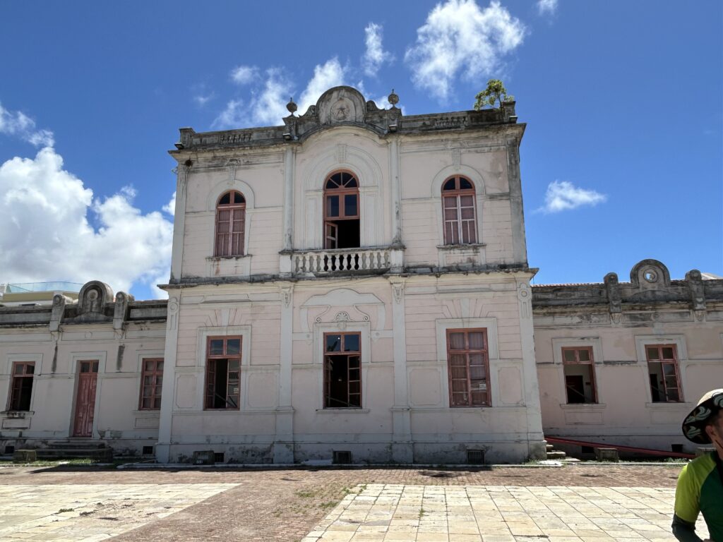
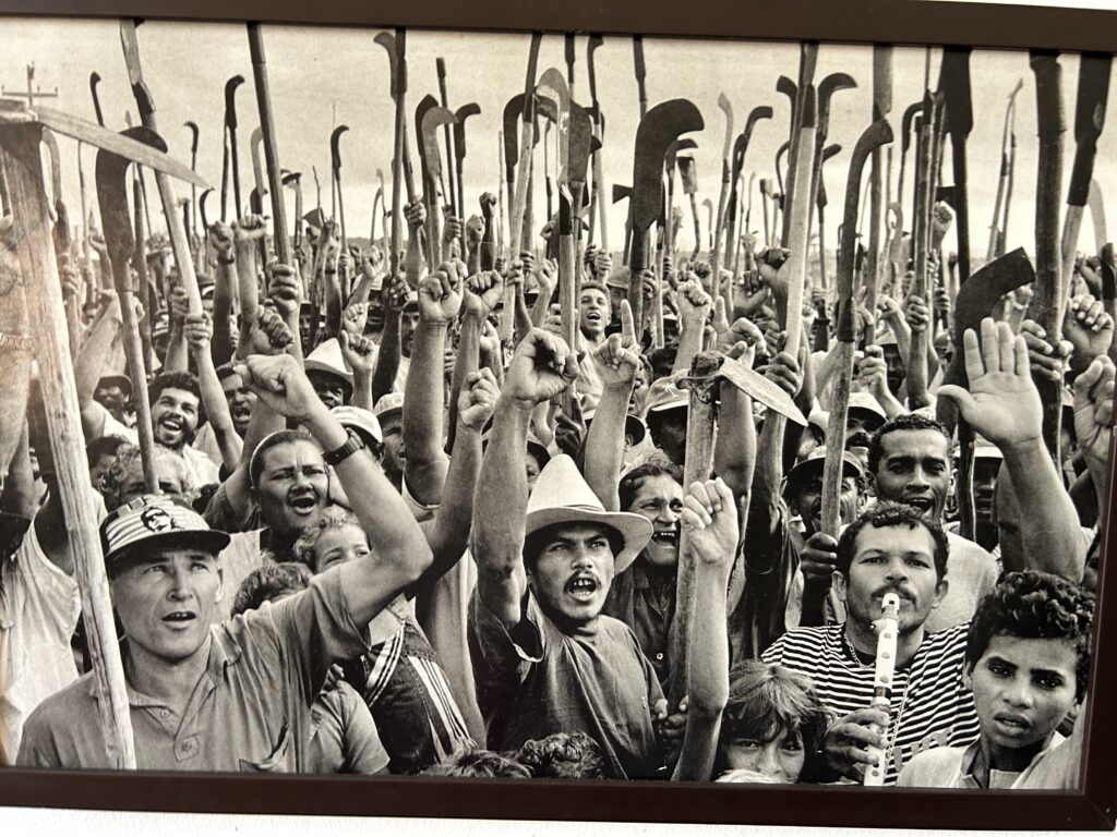
We entered the museum, designed by Bráulio Leite, Jr., who was a theater artist, to find exhibits of folklore sculptures and a photographic exhibit by Sebastião Salgado. His photographs depict the poor and homeless of the country and are shown all over Brazil. Upstairs it also has a collection of photographs, vinyl discs, VHS tapes, K7 tapes, Super 8 movies, video cassettes, negatives and slides and much more of Leit’s material.
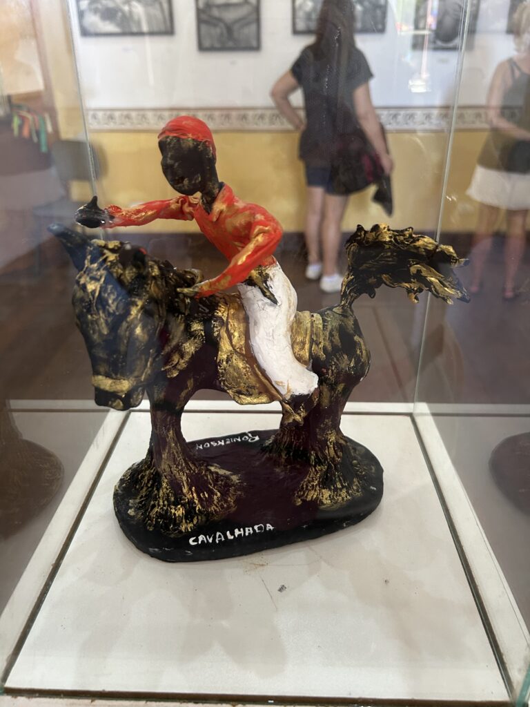
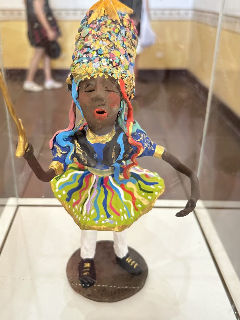
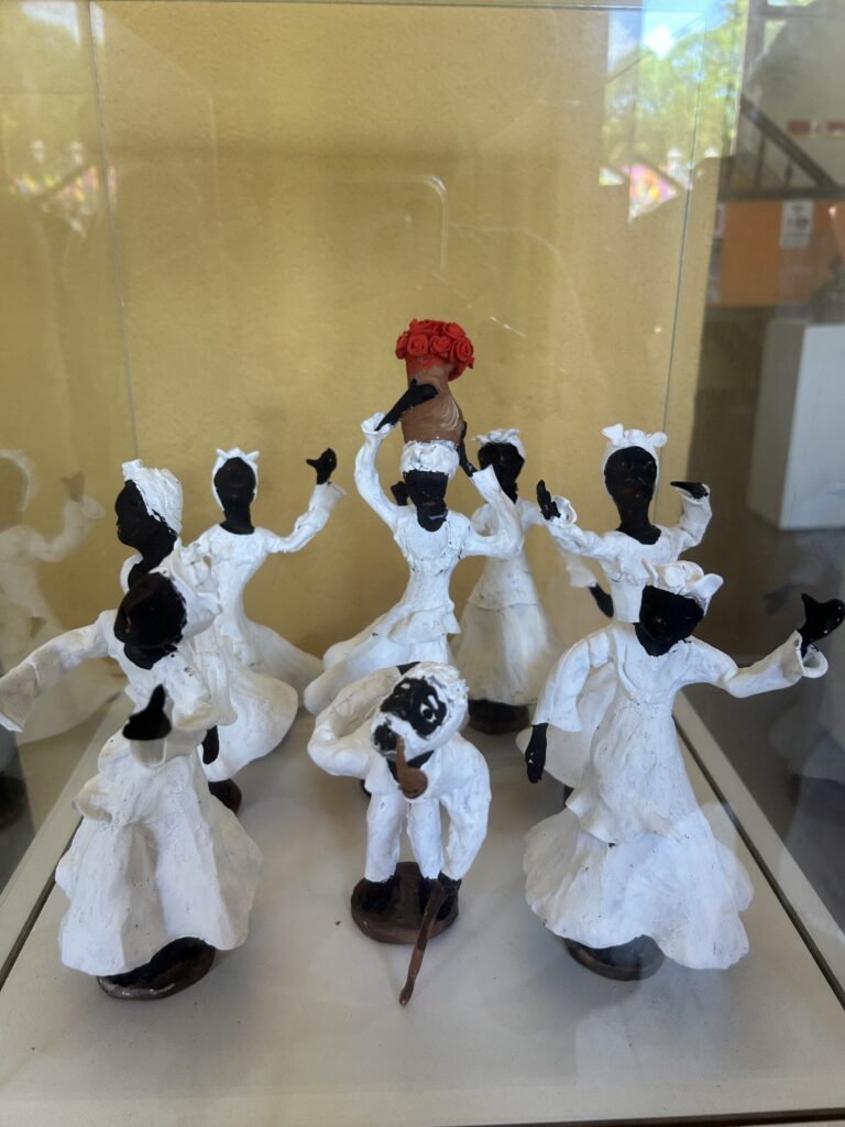
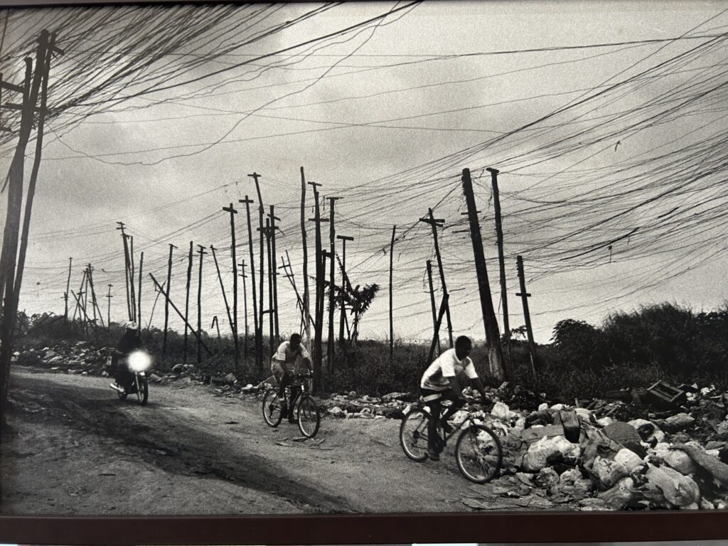
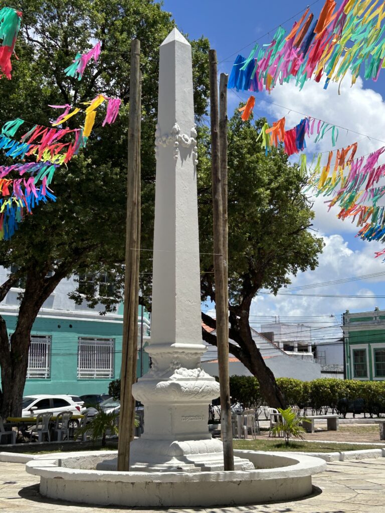
After our visit to the museum, we crossed the Praça Dois Leões—Two Lion Square. However, the statues are of one lion and one tiger, not two lions. In the center is an obelisk commemorating the centennial of Brazilian independence. At the end of the square is a huge Baobab tree.
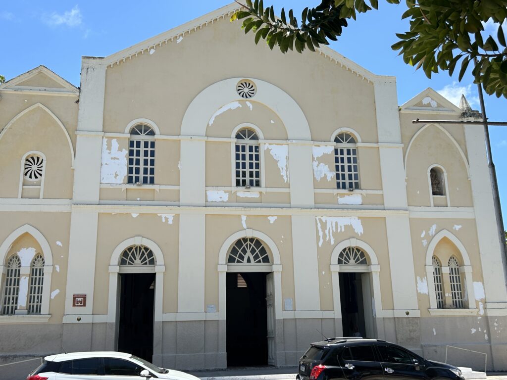
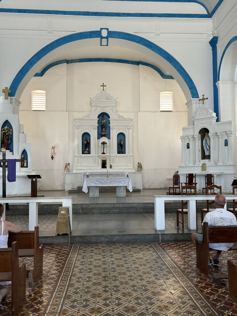
Across the street from the square is an historic church– Bom Jesus dos Navegantes. It is a simple but beautiful building in neo-gothic style dating from the 19th Century.
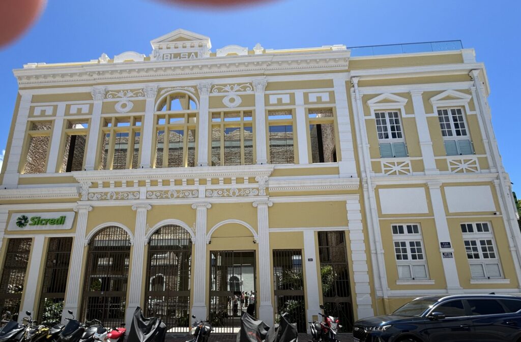
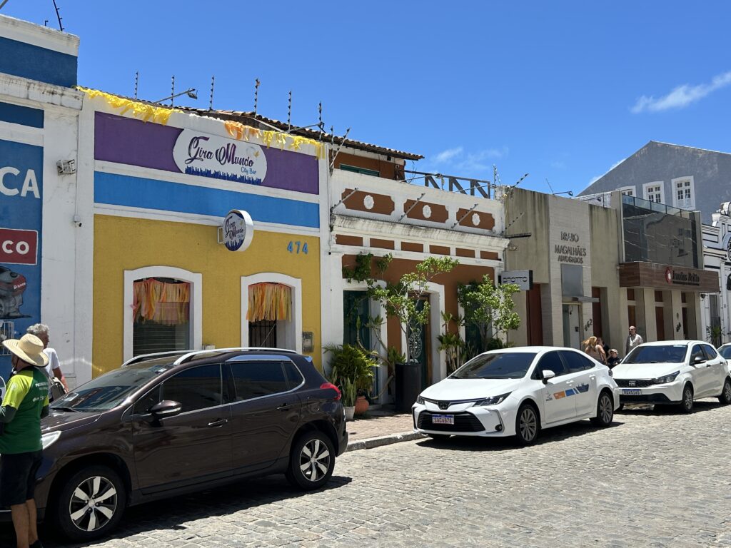
Next, we walked a couple of blocks to a street with typical, colorful buildings. The first was the building for the Banco del Povo. It is a different bank today. At the end of the colorful street was the Museao do Comércio de Alagoas. It is a beautiful Neo-classic building and houses a collection of machines and equipment from 1866-1980.

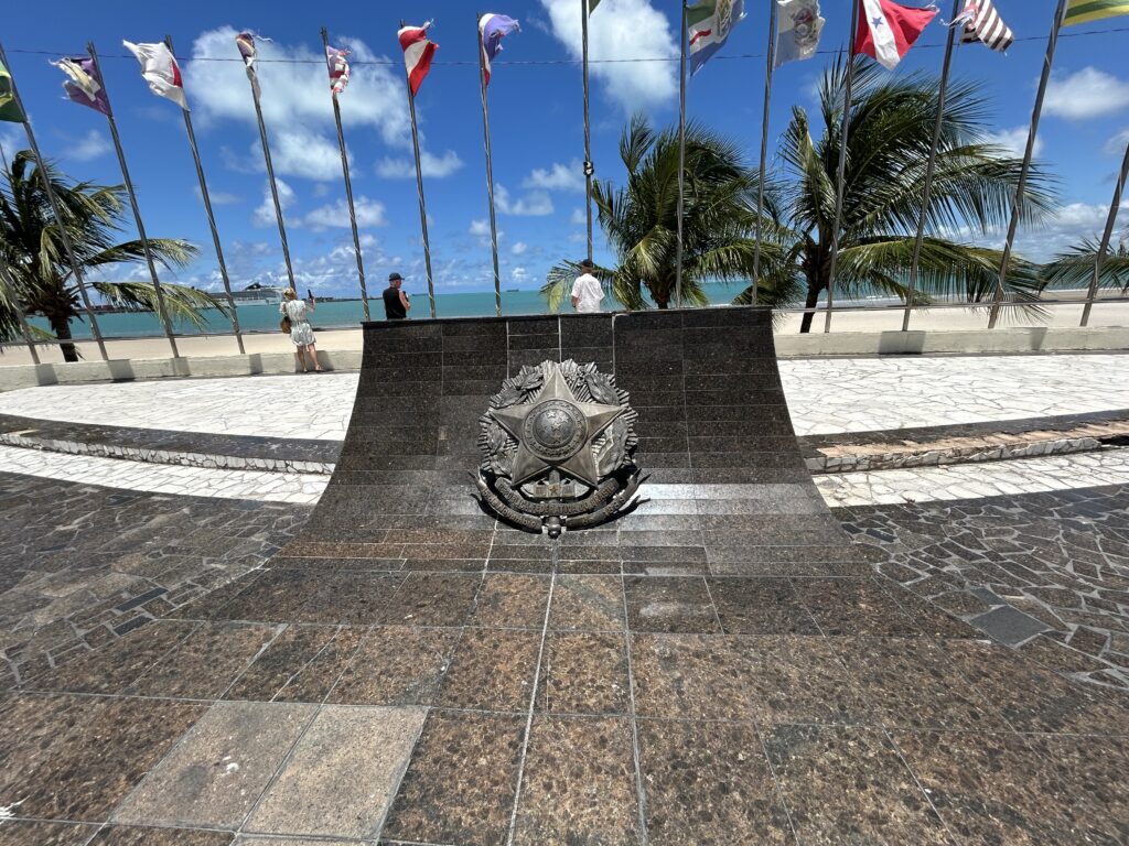
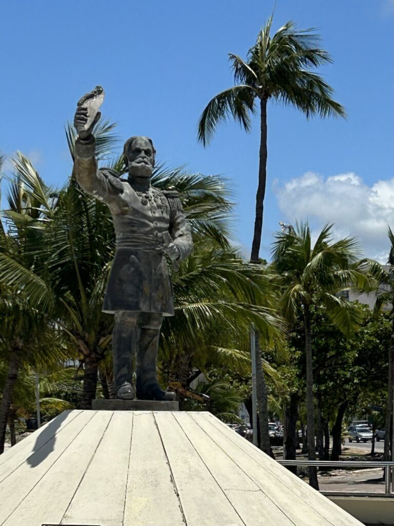
Next, we walked to the Memorial to the Republic with statues of the first two presidents who came from Alagoas. It has flags from all 27 states of Brazil and a small museum.
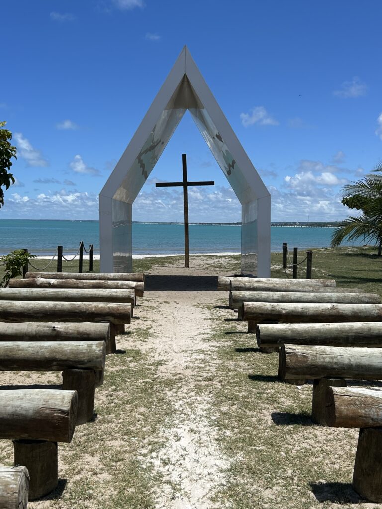
The Church of the Future was our next stop. It is a simple, open A-frame with a large cross, facing the beach. Alex Barbosa was the Architect. Many people get married here.
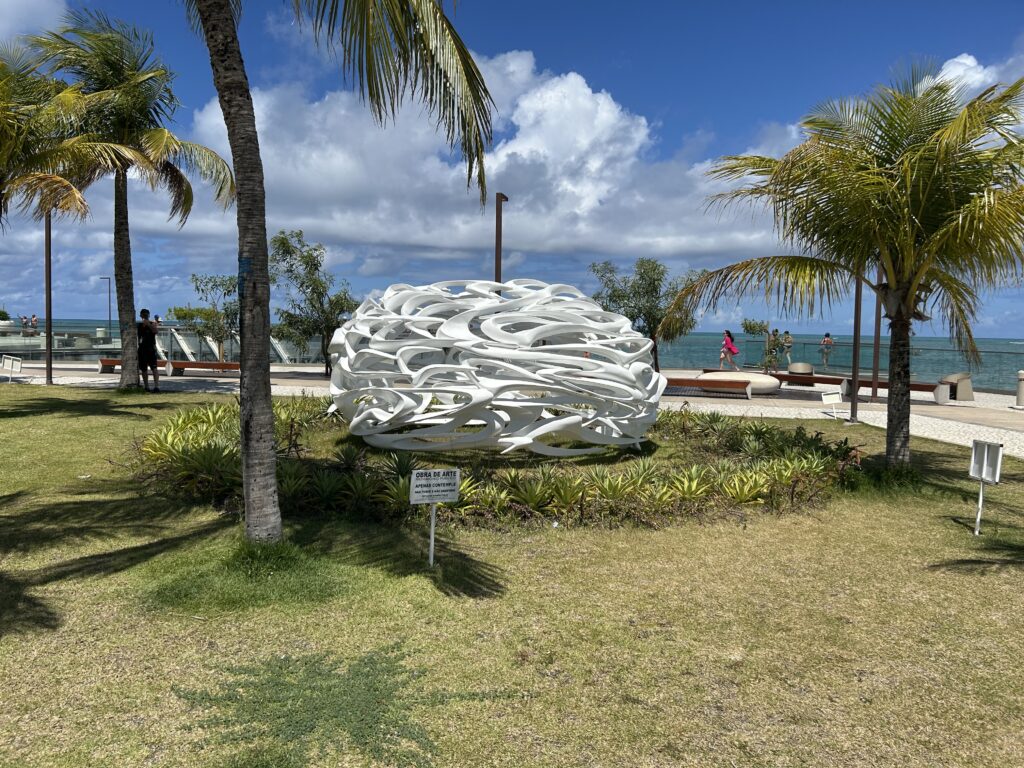
Our final destination was Ponta Verde Beach on the north side of town. This is the expensive district, and the long beach with natural pools formed by coral reefs explains why. There is a walking path and a bike path along the beach with lots of palm trees and various monuments. We walked along the pathway for about 45 minutes ending up at Marco Dos Corais. This landmark is a nice walking area out in the water where you can sit and enjoy the views. In the large square at the end is a sculpture commemorating the coral. Northeast Brazil has the most coral after Australia. One side of the walkway is a lighthouse—Farol da Ponte Verde, built in 1922. It stands about 400 meters off the beach to warn ships of the underwater shallow coral reefs. Protecting the coral seems to be a priority to the people in this part of the country.
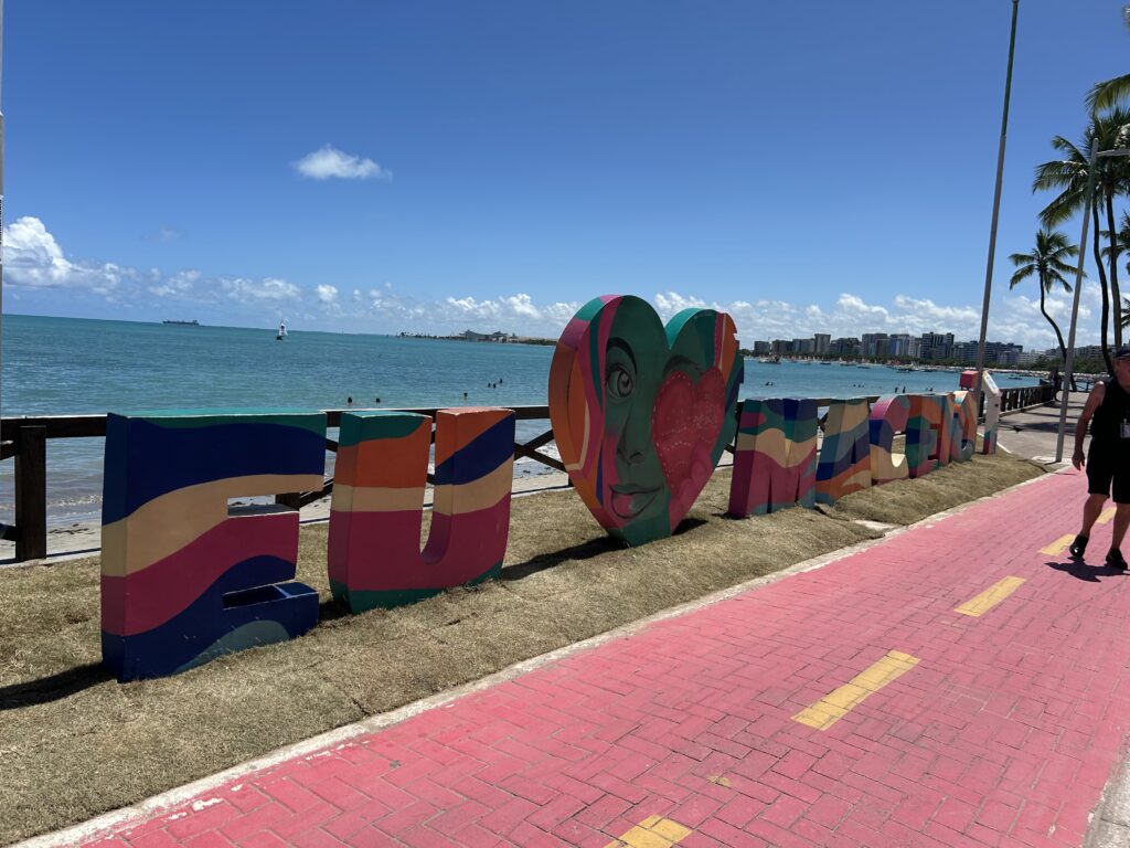
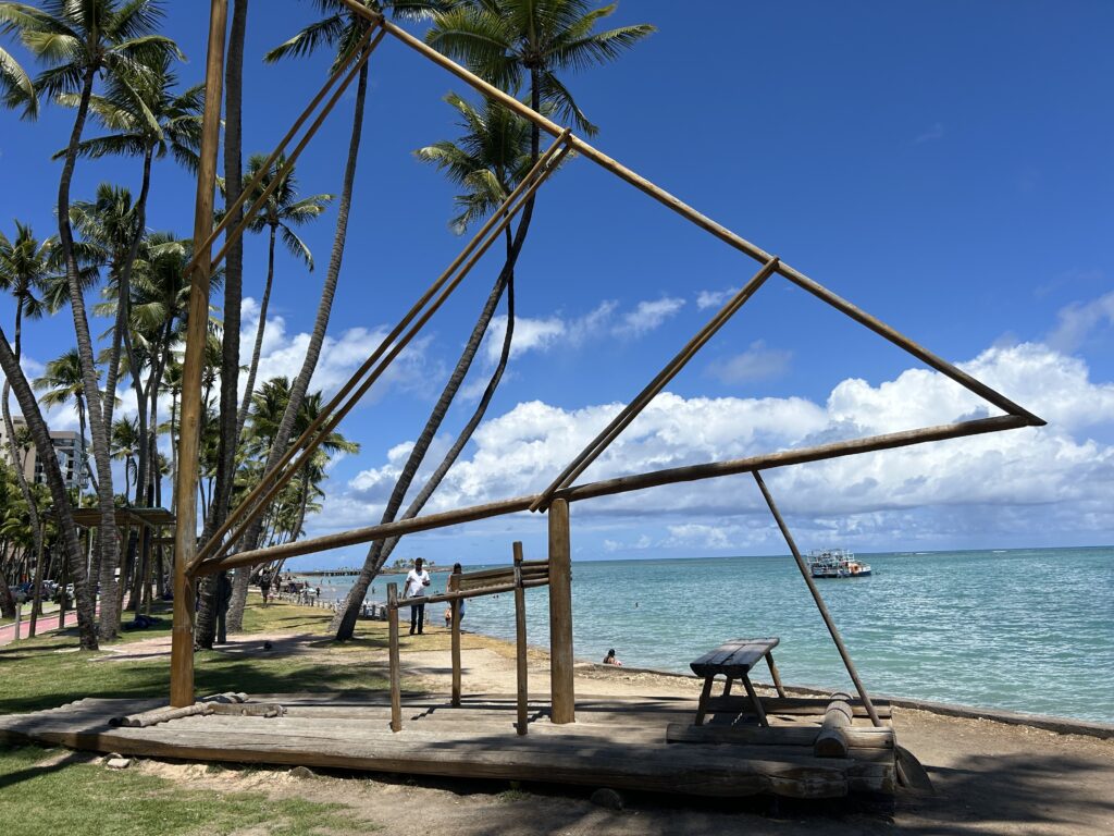
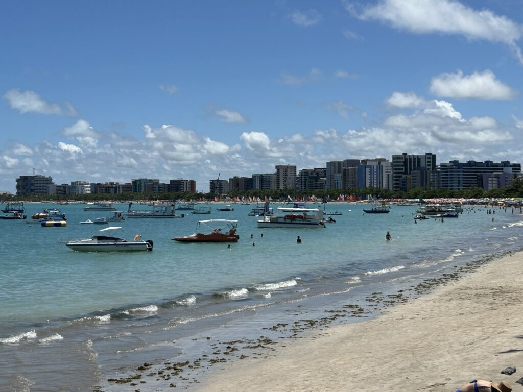
Maceió gave us another view of Brazil, that of a smaller, coastal city with connections through architecture and food to the early native inhabitants.
After leaving Maceió, at 4 p.m. with a pilot and two tugs helping, we had three days at sea.
Nautical Information
From Sao Paolo to Maceió, we passed by Abrolhos Archipelago, a marine national park known for its coral reefs and diverse marine life.
The distance from Maceió to our next port is 1,720 nautical miles, crossing the Intertropical Convergence Zone where the northeast and southeast trade winds meet. This is often called the Doldrums. Next, we near Fernando de Noronha, a UNESCO World Heritage Site, known for its rich marine life, including spinner dolphins.
There are a lot of flying fish in the ocean. They are amazing to watch. I wish I could get a picture of them.
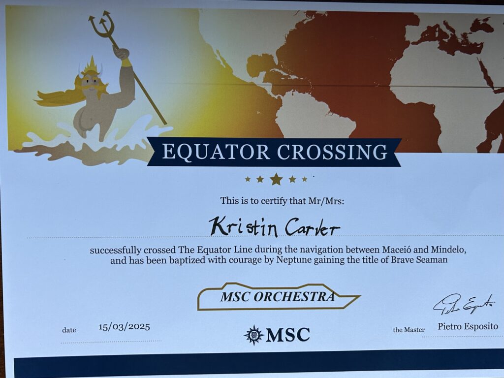
On the Ides of March, we crossed the Equator, a traditional maritime milestone. It is celebrated with ceremonies, often led by King Neptune The ship celebrated with a parade and party. We all got certificates for crossing the equator. We continue past small clusters of volcanic islands on our voyage across the Atlantic.
The part of the Atlantic we are now crossing has been associated with ghost ships and mysterious maritime legends. Tales of vessels disappearing only to be found adrift with no crew have fueled myths of the supernatural and unexplained maritime phenomena. The Sargasso Sea, located slightly north of us is infamous for such stories. Most are attributed to strong ocean currents and sudden weather changes.
Leave a Reply